Everest Base Camp Trek 14 Days
Trek through the legendary Khumbu Valley to the foot of the world's highest peak, passing Sherpa villages, ancient monasteries, and jaw-dropping Himalayan scenery along the way. Over 14 unforgettable days, reach Everest Base Camp and Kala Patthar for iconic views of Everest, Lhotse, and Nuptse.
Overview
Overview
The Everest Base Camp Trek is a 14-day journey through Nepal's Khumbu region to the base of Mount Everest. The trek to Everest Base Camp at 5,364 m (17,598 ft) includes a hike to Kala Patthar at 5,545 m, the highest point on this itinerary.
The journey starts with a mountain flight to Lukla. The trail follows the Dudh Koshi valley through Phakding and into Sagarmatha National Park. From there, the trail climbs to Namche Bazaar, Tengboche, Dingboche, Lobuche, Gorak Shep, and finally Everest Base Camp. Two acclimatization days, one in Namche Bazaar and another in Dingboche, are built into the itinerary to help your body adjust gradually to the altitude.
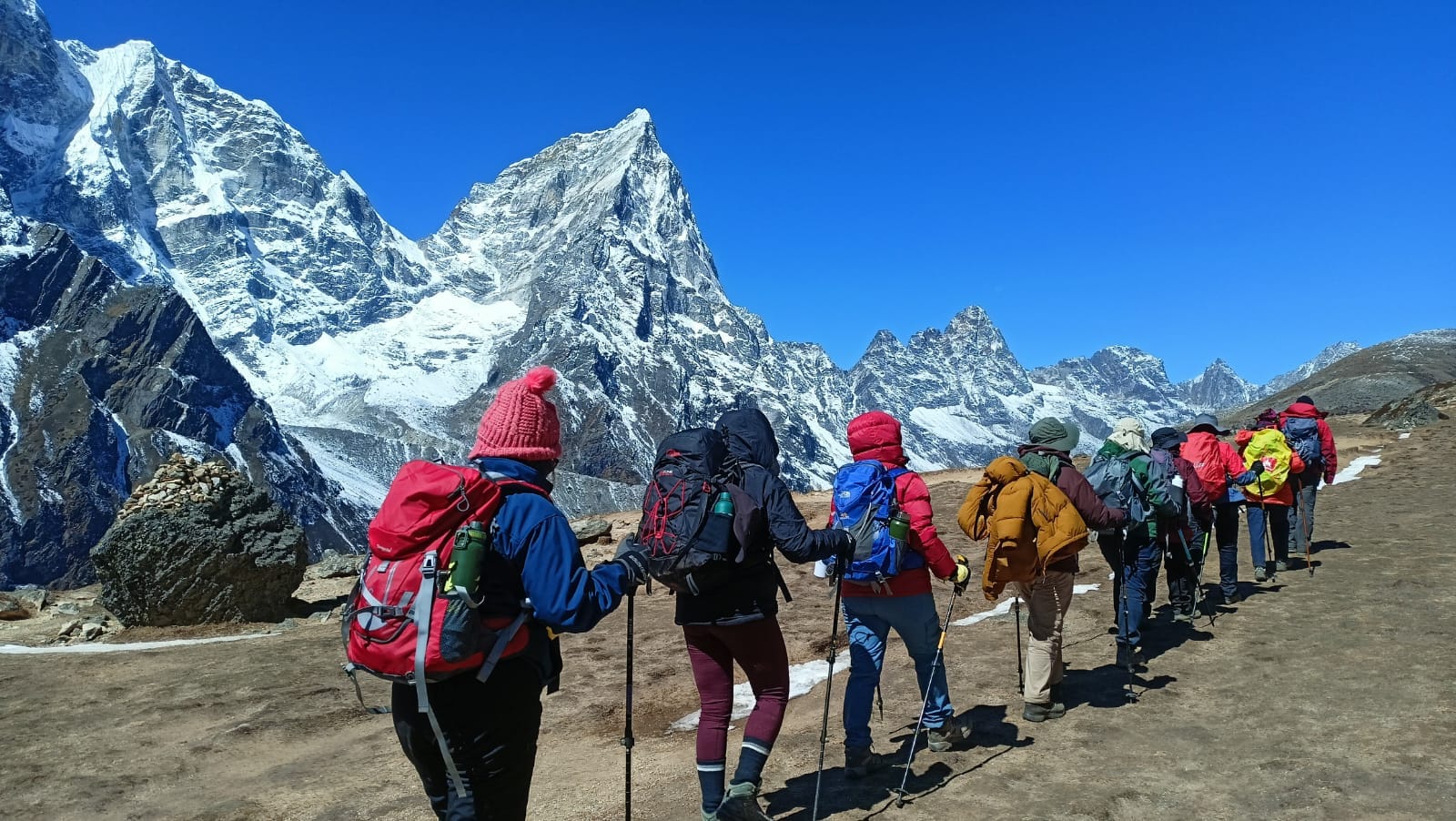
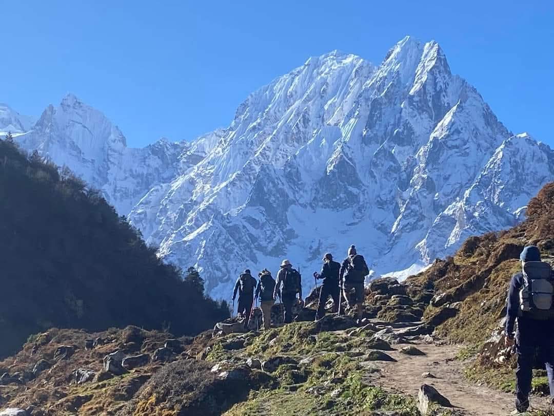
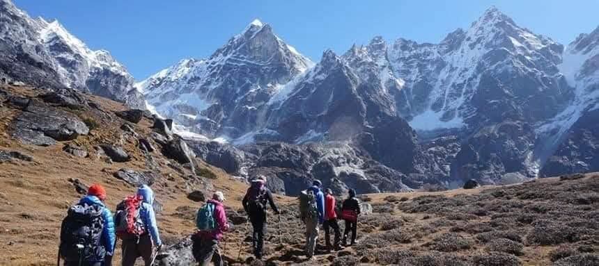
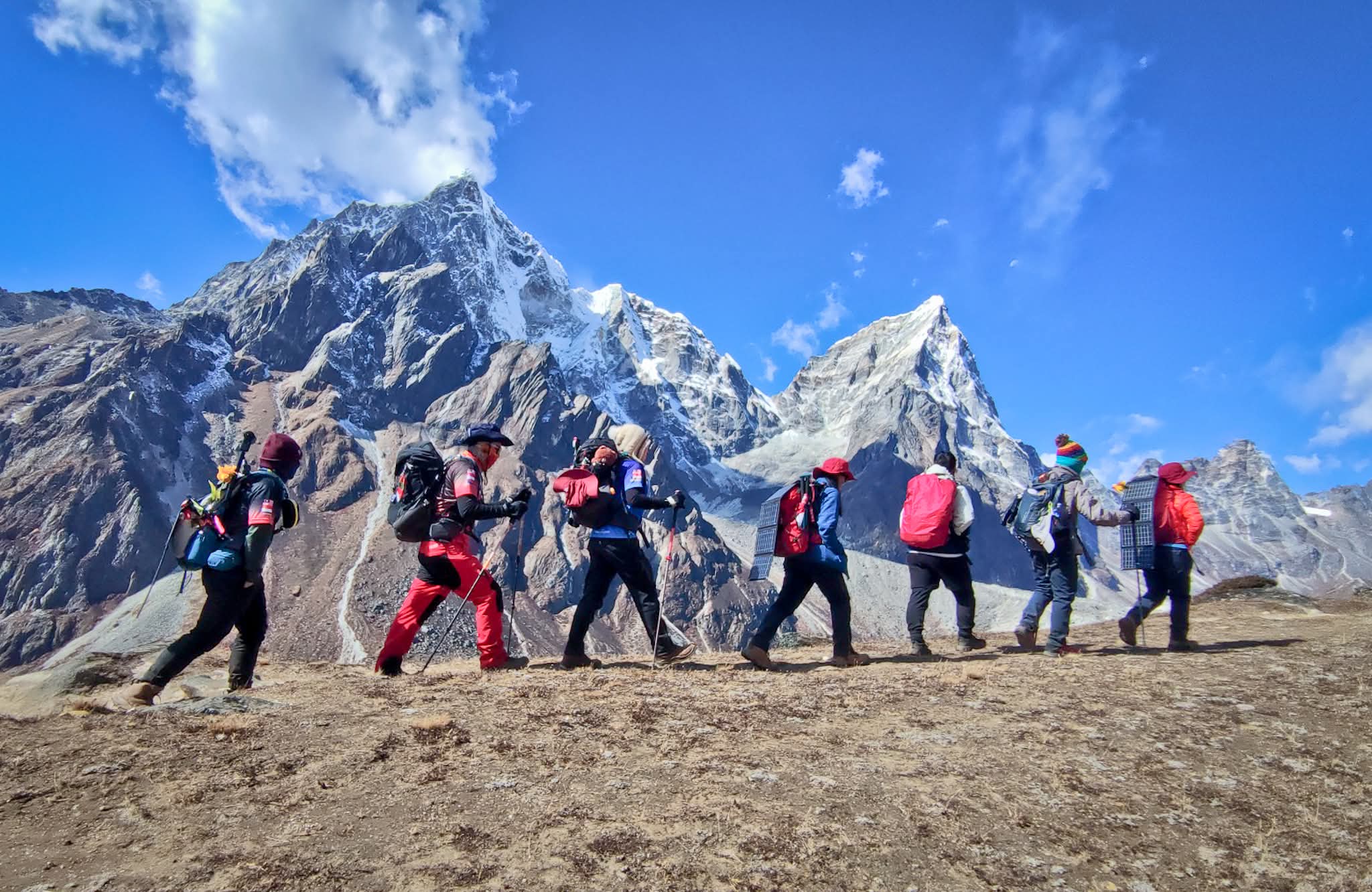
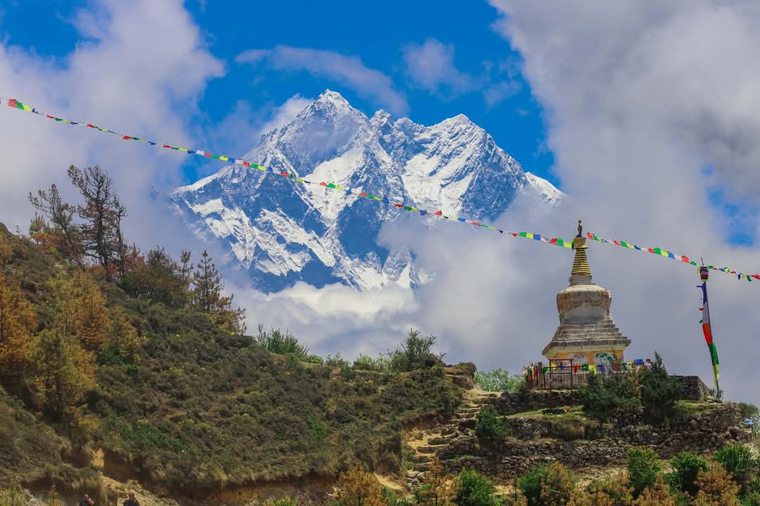
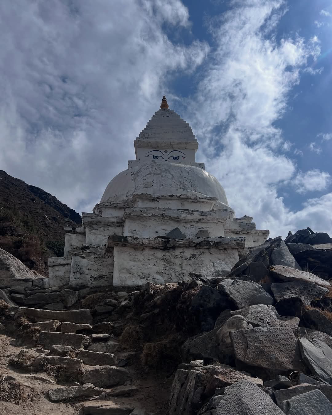
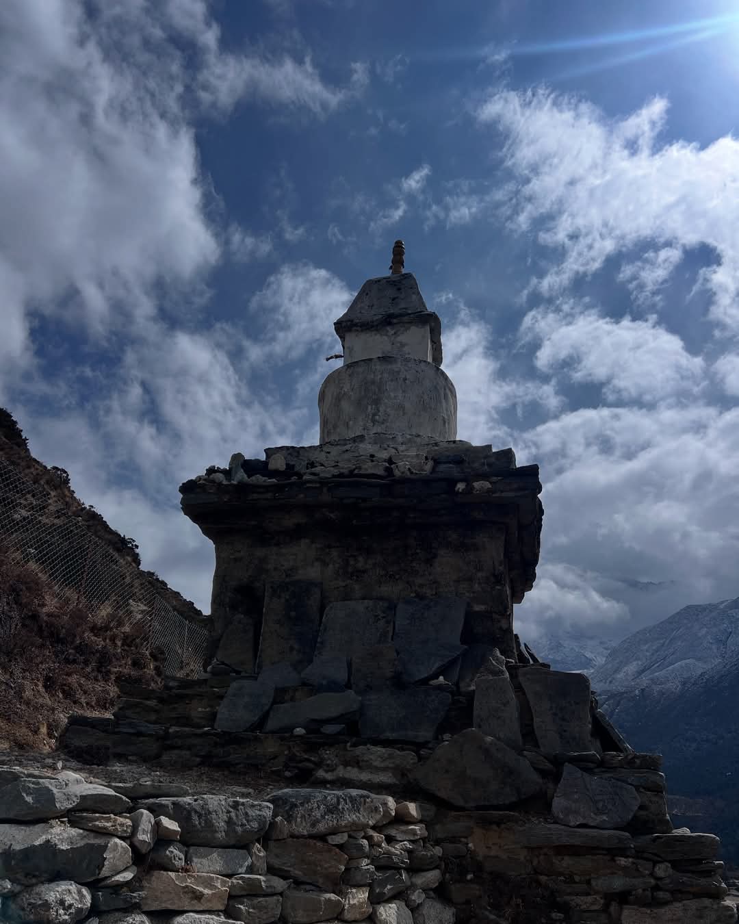
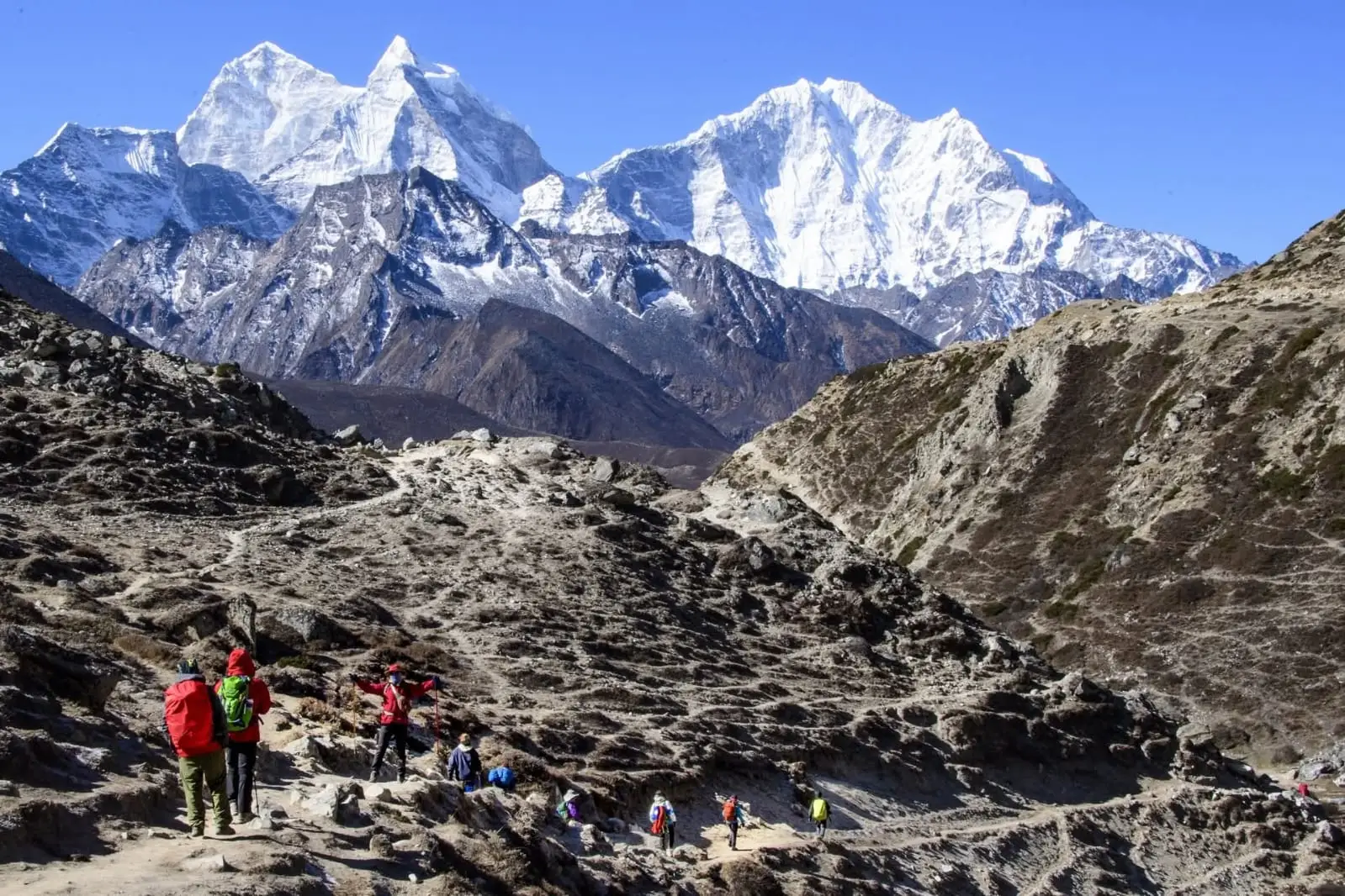
Along the route, you pass mani walls, prayer flags, monasteries, small villages, suspension bridges, alpine valleys, and the Khumbu Glacier while walking beneath mountains including Everest, Lhotse, Nuptse, Ama Dablam, Thamserku, and Pumori.
The trek does not require technical climbing experience, but altitude and repeated days of walking make it physically demanding. Most trekking days involve around five to eight hours on foot, and conditions become colder and more basic as you move higher.
Highlights of the trek
- Reach Everest Base Camp at 5,364 m (17,598 ft).
- Hike to Kala Patthar at 5,545 m for wide views across Everest.
- Explore the main trading and trekking hub of the Khumbu at the Namche Bazzar.
- Visit Tengboche, the important Buddhist monastery at approximately 3,860 m.
- Walk through Sagarmatha National Park, a UNESCO World Heritage-listed landscape.
- Follow the Dudh Koshi valley across suspension bridges and through Sherpa settlements.
- Walk beside the Khumbu Glacier on the approach to Everest Base Camp.
- See peaks including Everest, Lhotse, Nuptse, Ama Dablam, Thamserku, and Pumori when weather conditions are clear.
- Experience the Sherpa culture in villages in the Khumbu Region.
- Take the mountain flight between Kathmandu or Manthali/Ramechhap and Lukla, depending on seasonal flight operations.
Your 14-day itinerary
Detailed Itinerary
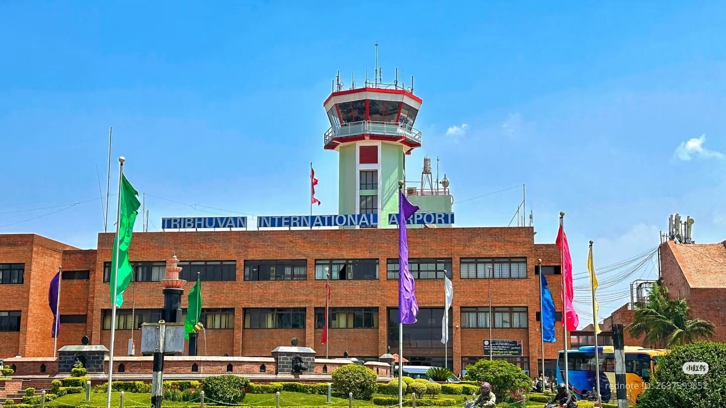
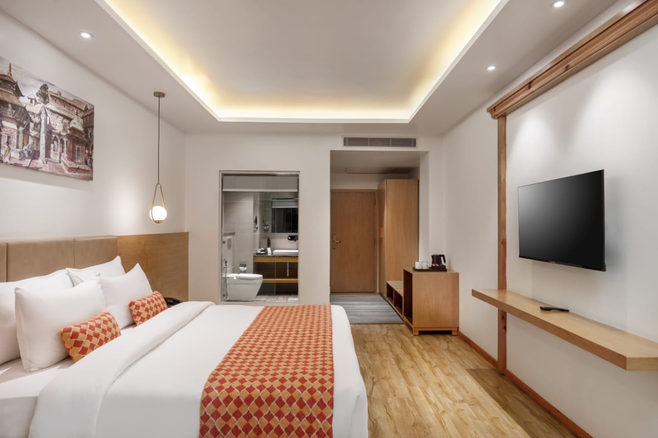
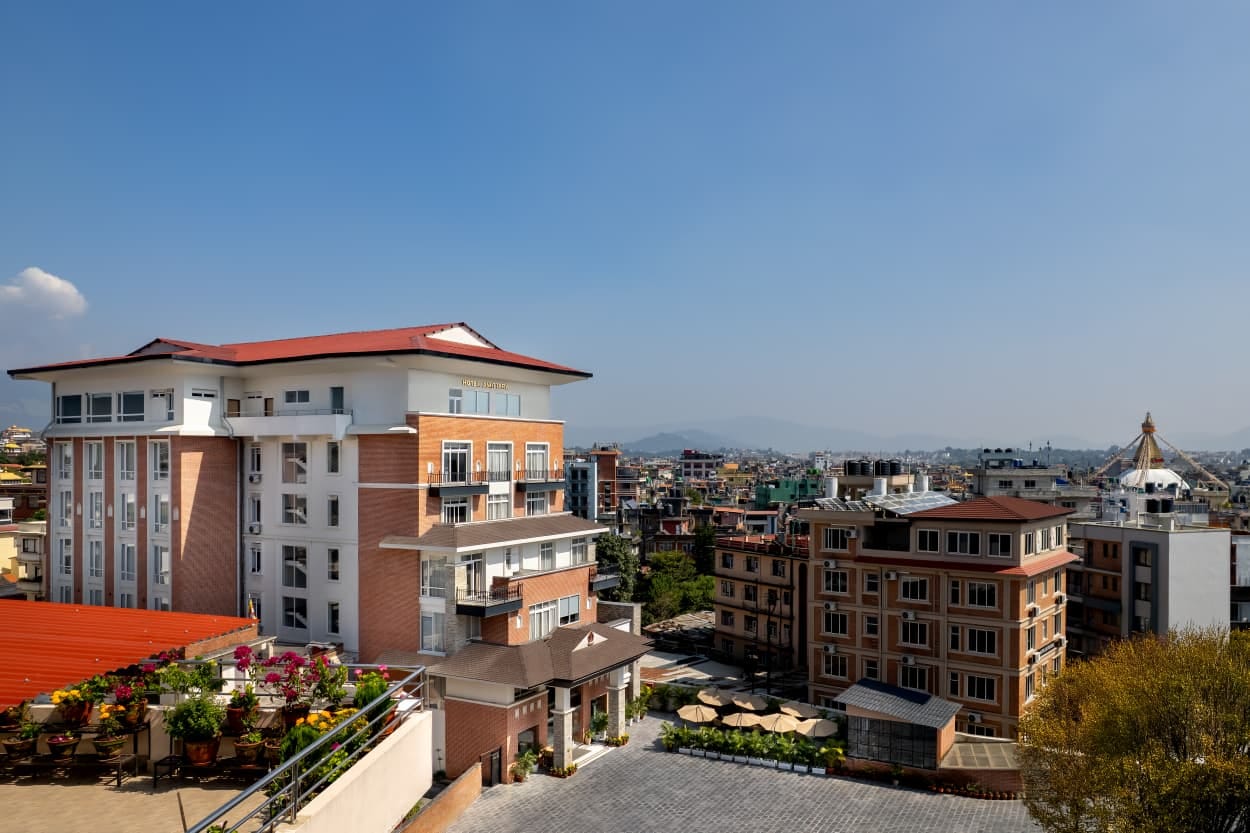
Welcome to Nepal. After your arrival at Tribhuvan International Airport, our representative from Pure Sherpa Adventure will receive you outside the arrival terminal and take you to your hotel. We normally keep the first day easy.
After we reach the hotel, you can check in to your rooms and freshen up. Some time later, your trekking guide will meet you and discuss the important things and information for the trek in detail. This includes the Lukla flight, daily walking hours, altitude, weather, luggage, and the gear you should carry yourself. This is also the right time to check boots, jackets, trekking poles, or any small item you may have forgotten. If you need any last-minute trekking supplies, Kathmandu has plenty of trekking shops where you can easily find what you need.
If time allows, you can also explore a little of Kathmandu in the evening, pick up any remaining trekking supplies before joining the group for a supper at a local restaurant.
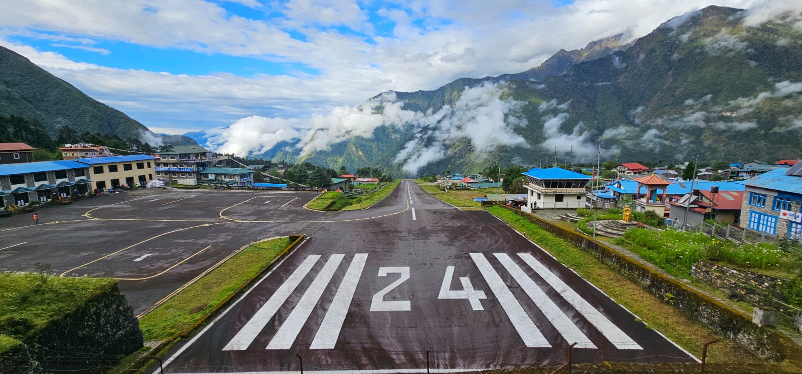
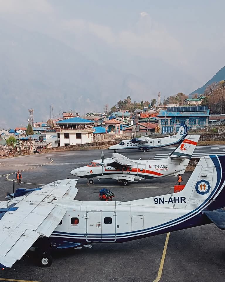
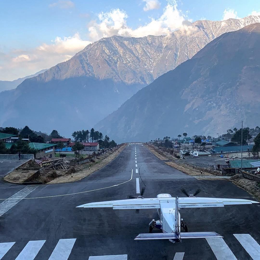
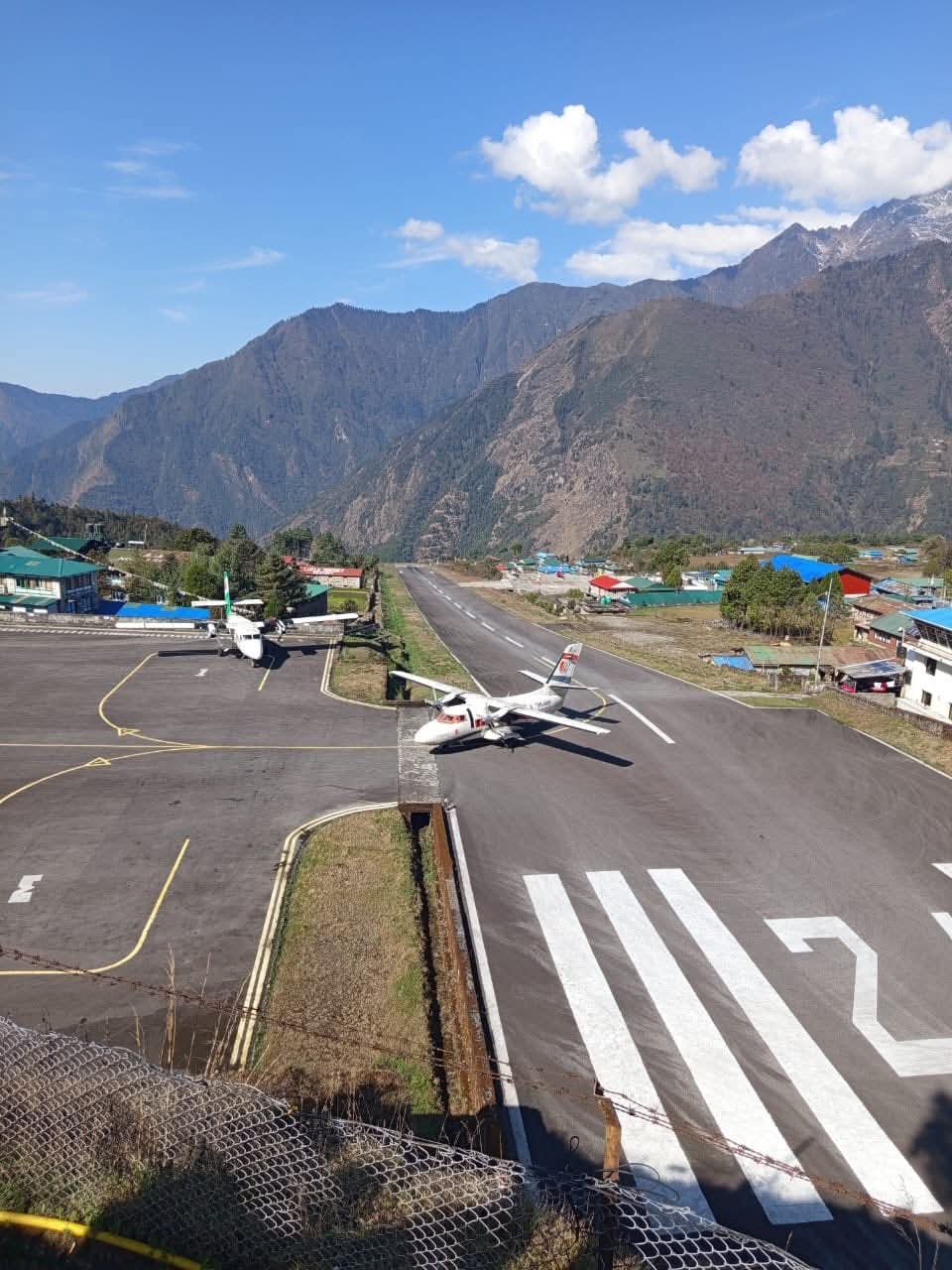
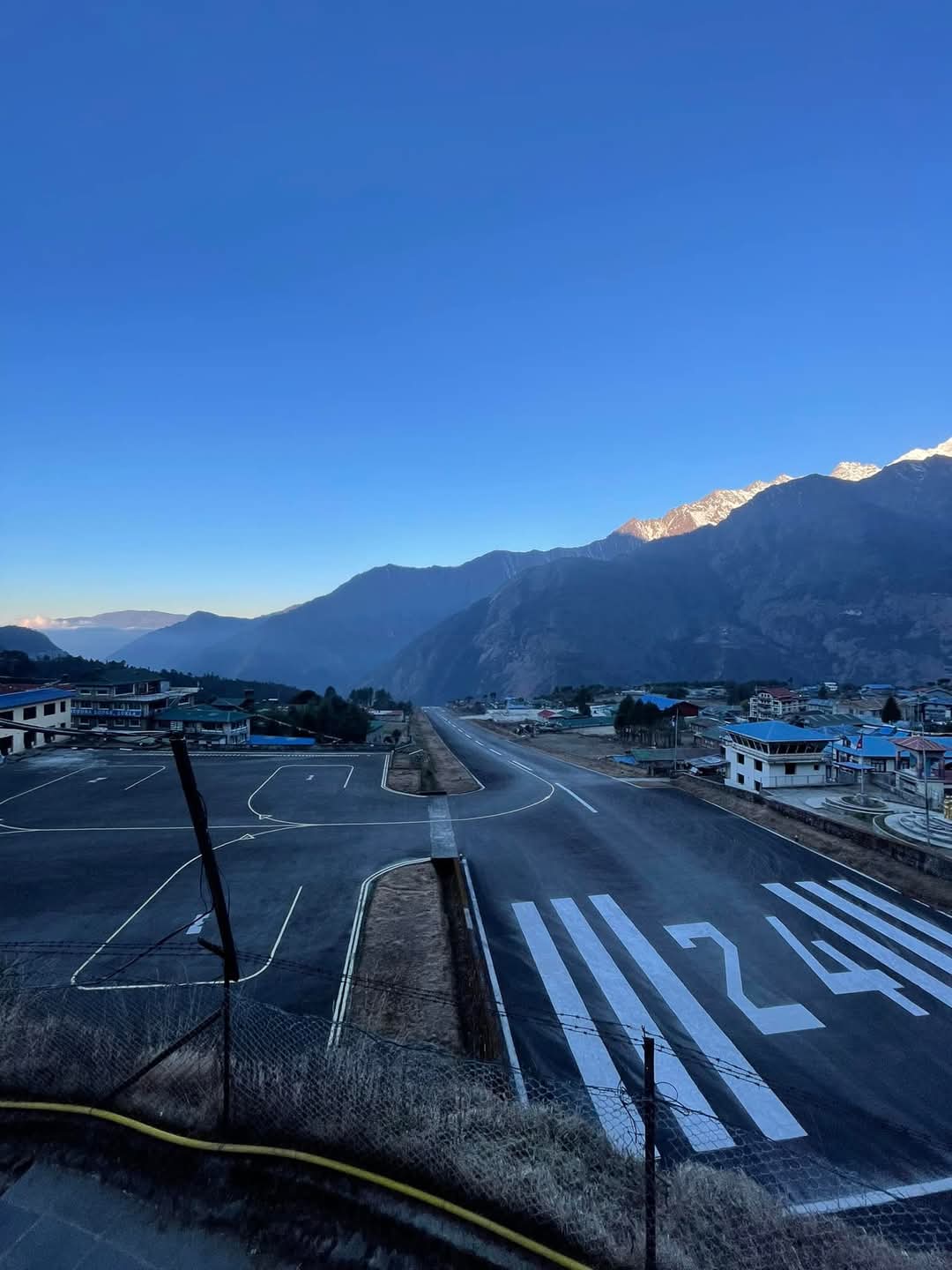
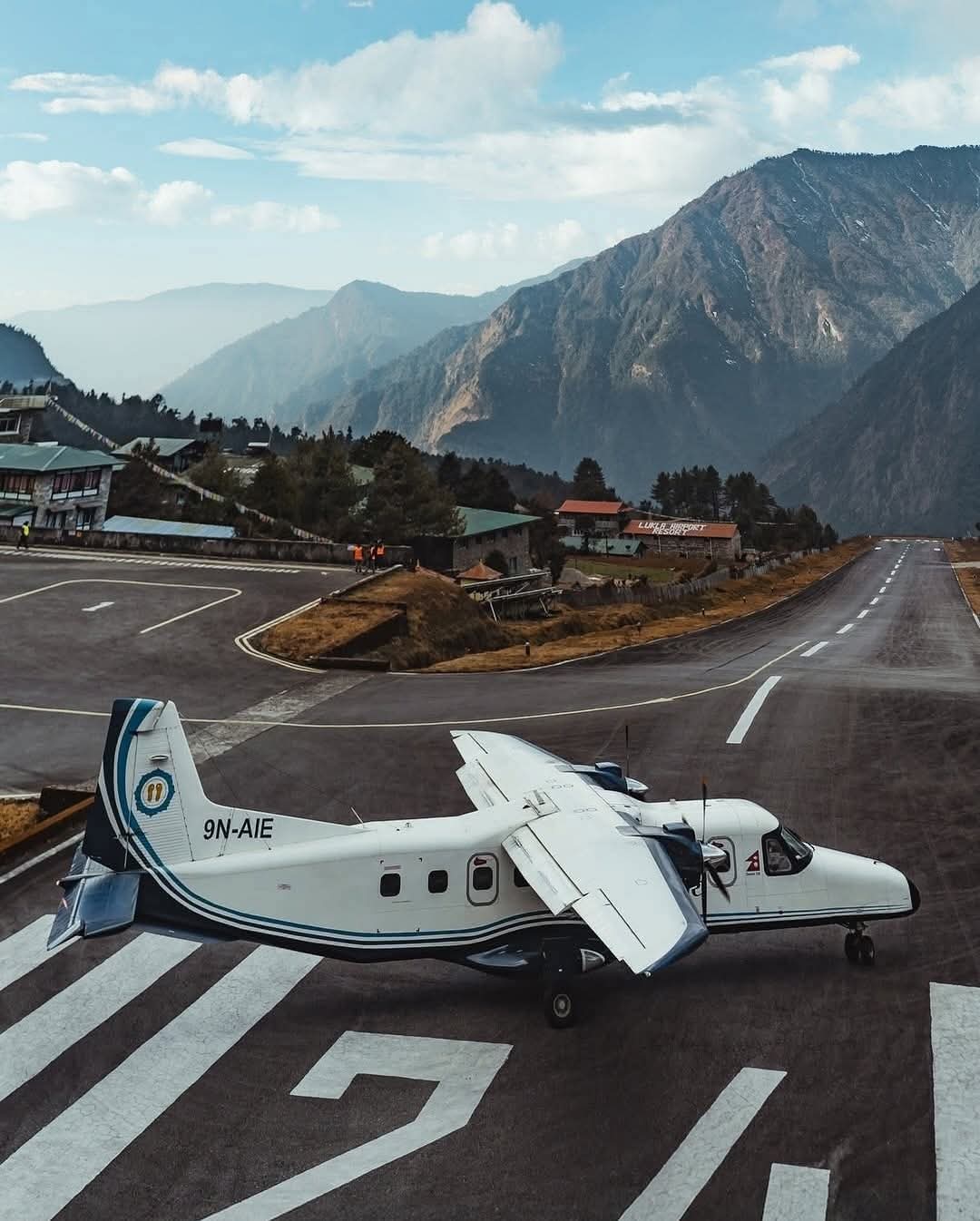
The day starts with the flight to Lukla. Depending on the season, the flight may operate from Kathmandu or from Manthali in Ramechhap. Lukla flights are heavily dependent on the weather, so delays are common.
The flight takes around 30 minutes when operating directly to Lukla, with the mountain scenery becoming more dramatic as you approach the small airstrip.
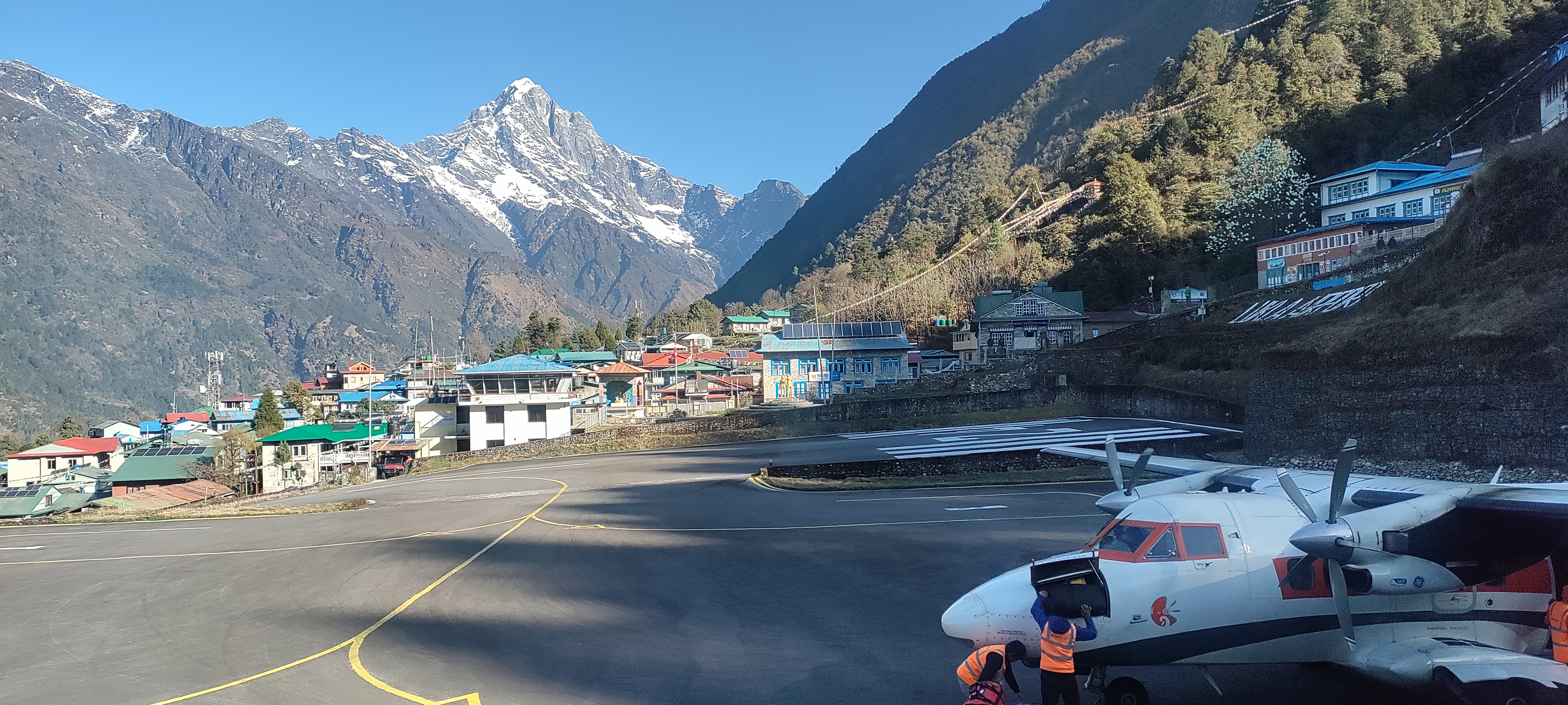
After landing in Lukla, we will organise a porter to load and manage the bags, and we will begin walking toward Phakding. The first day is intentionally short. The trail passes stone houses, prayer walls, small villages, pine forest, and sections of the Dudh Koshi valley.
Along the way, you may also see rhododendron and magnolia trees, depending on the season.
By the time we reach Phakding, there is enough time to settle into the teahouse, eat properly, and rest before the much longer climb to Namche tomorrow morning.
If the group arrives early enough, there may also be time to visit the nearby monastery before settling in for the evening.
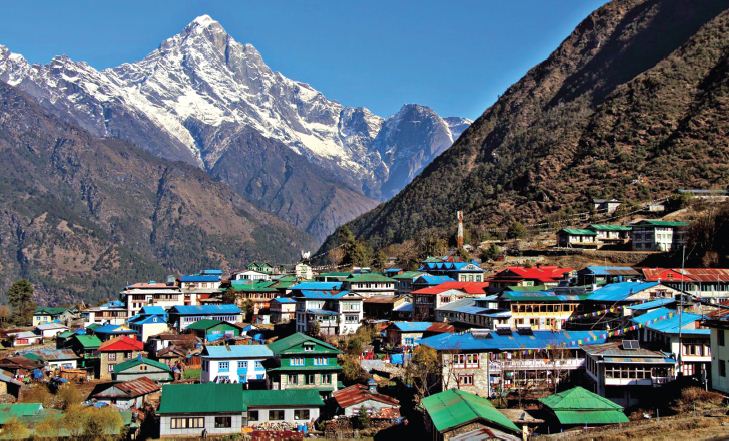
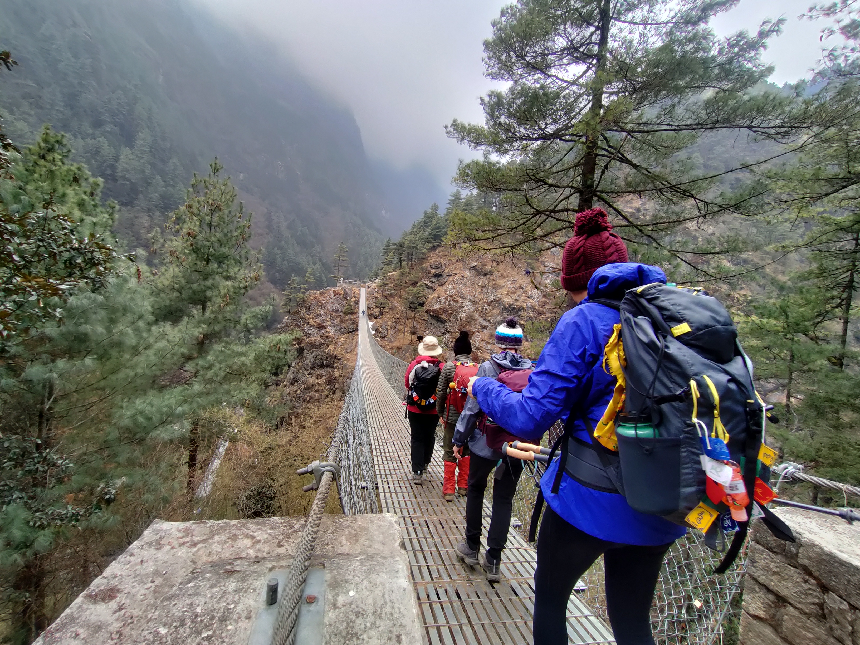
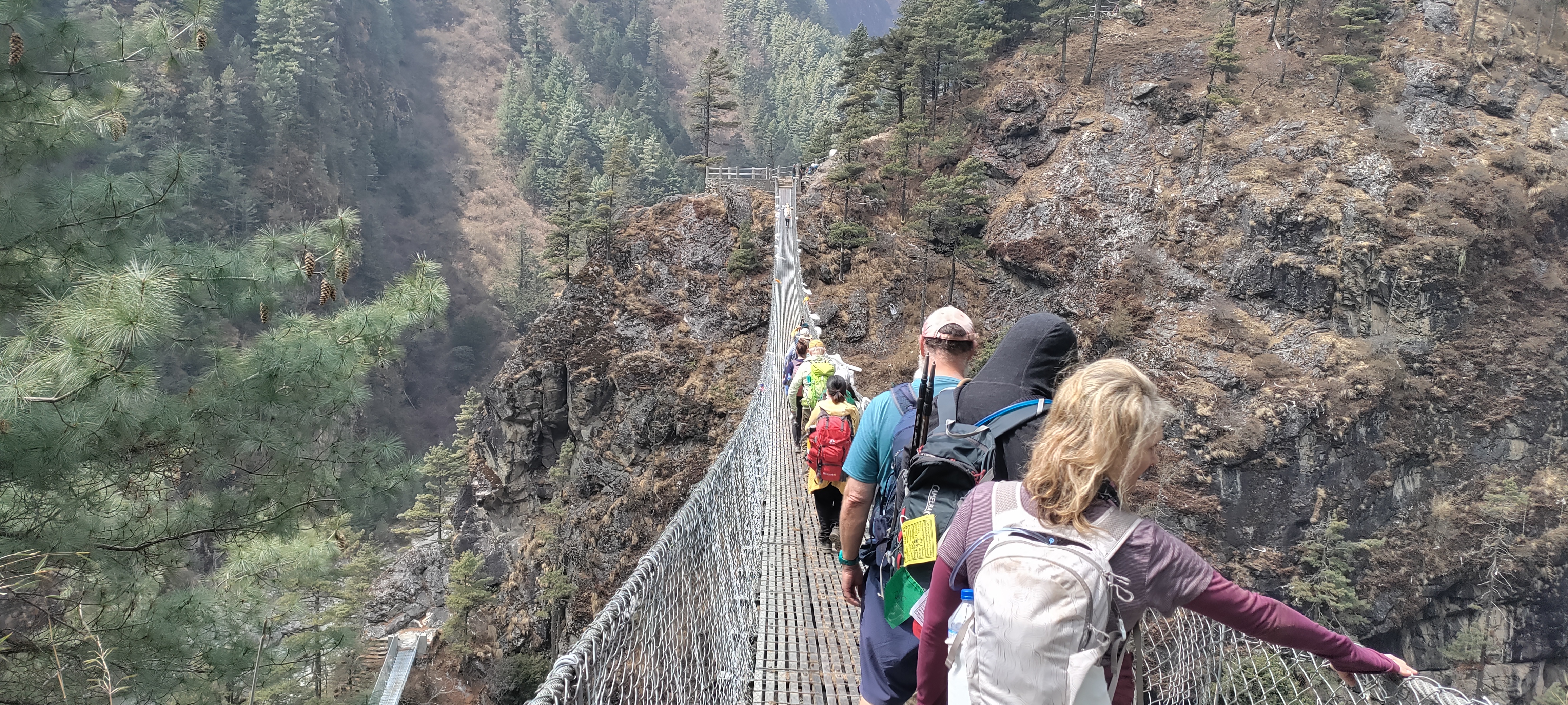
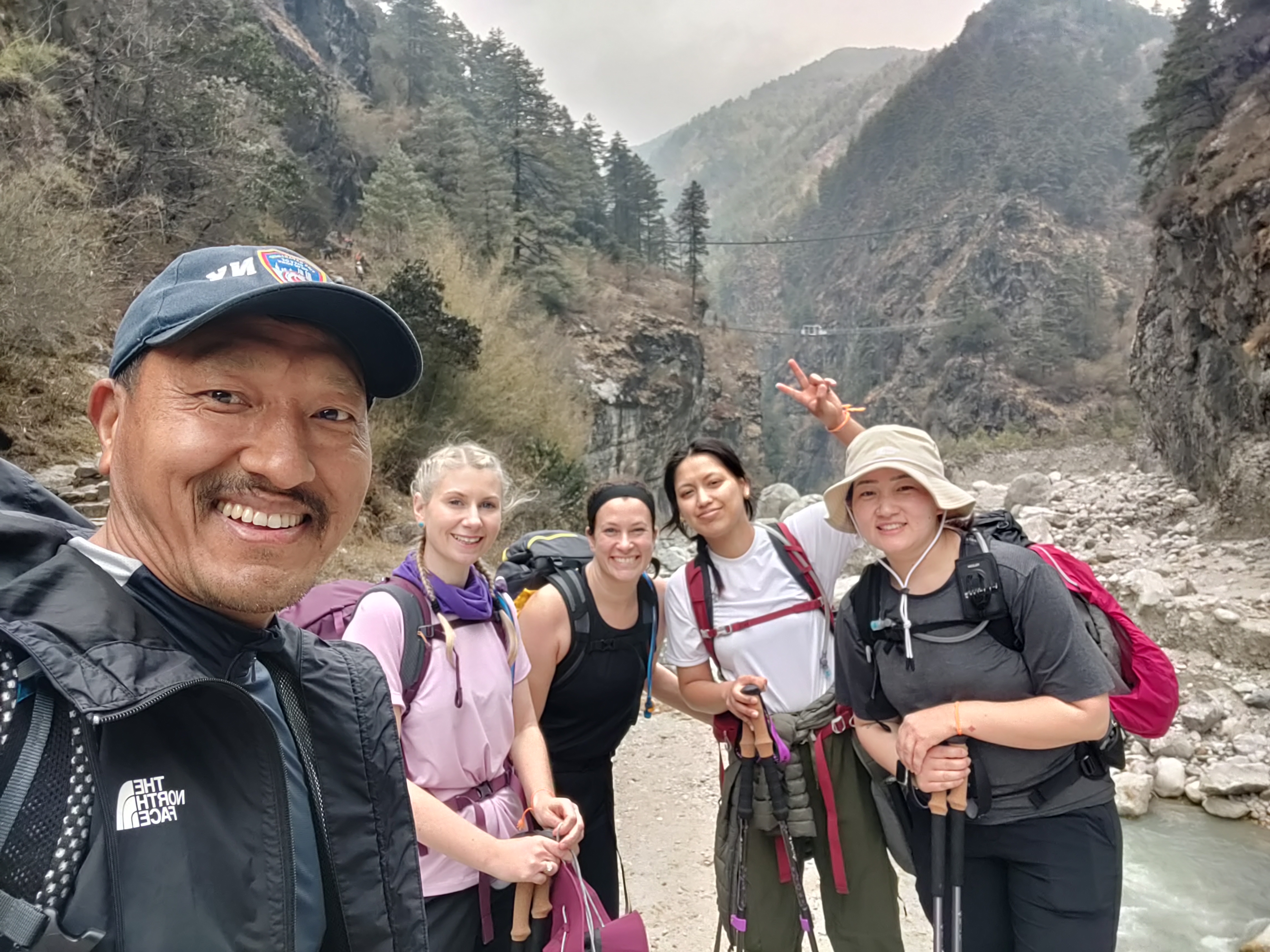
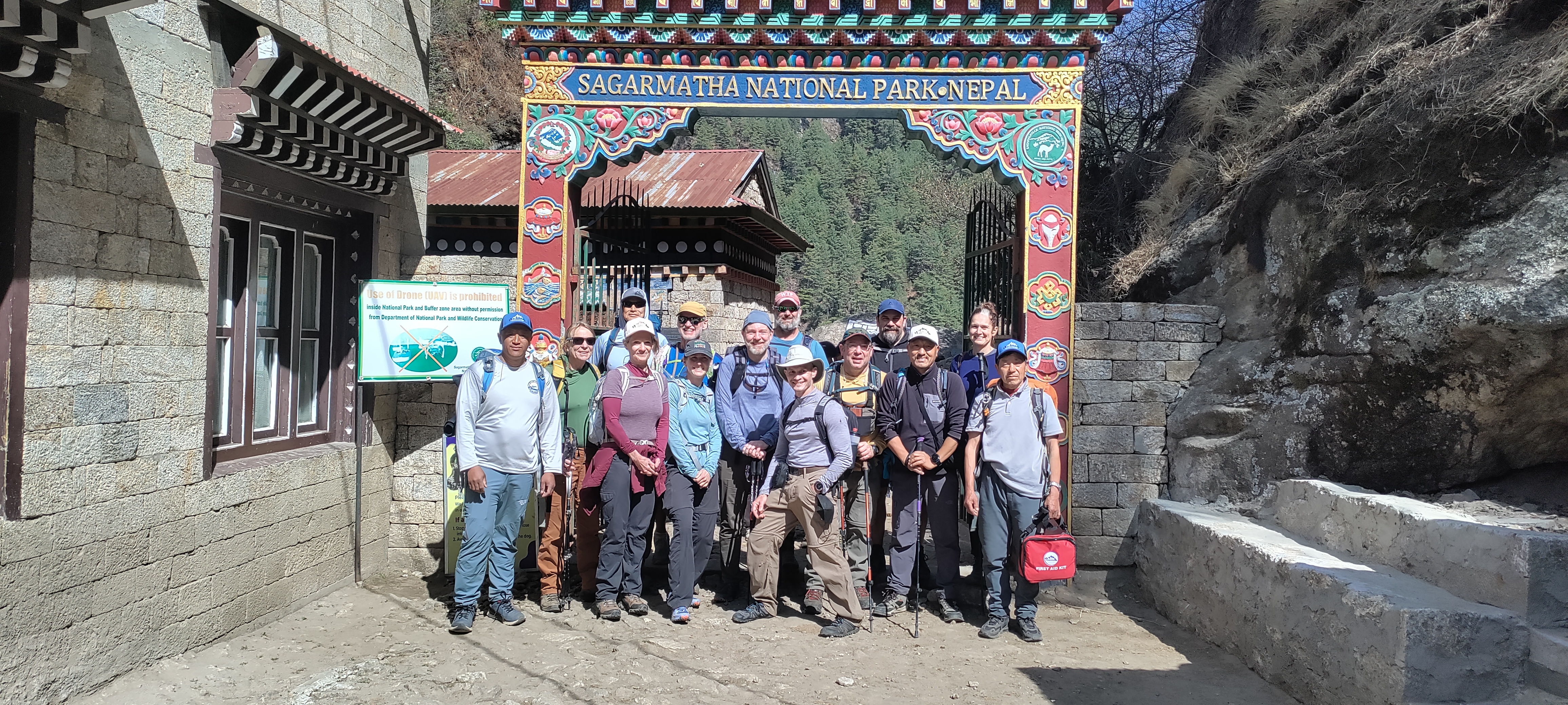
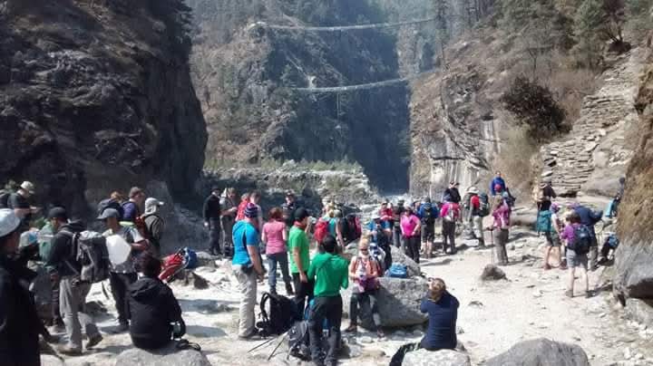
As the journey continues on the third day, we will start the trek early in the morning. We follow the Dudh Koshi upstream, crossing several suspension bridges and passing settlements before entering Sagarmatha National Park.
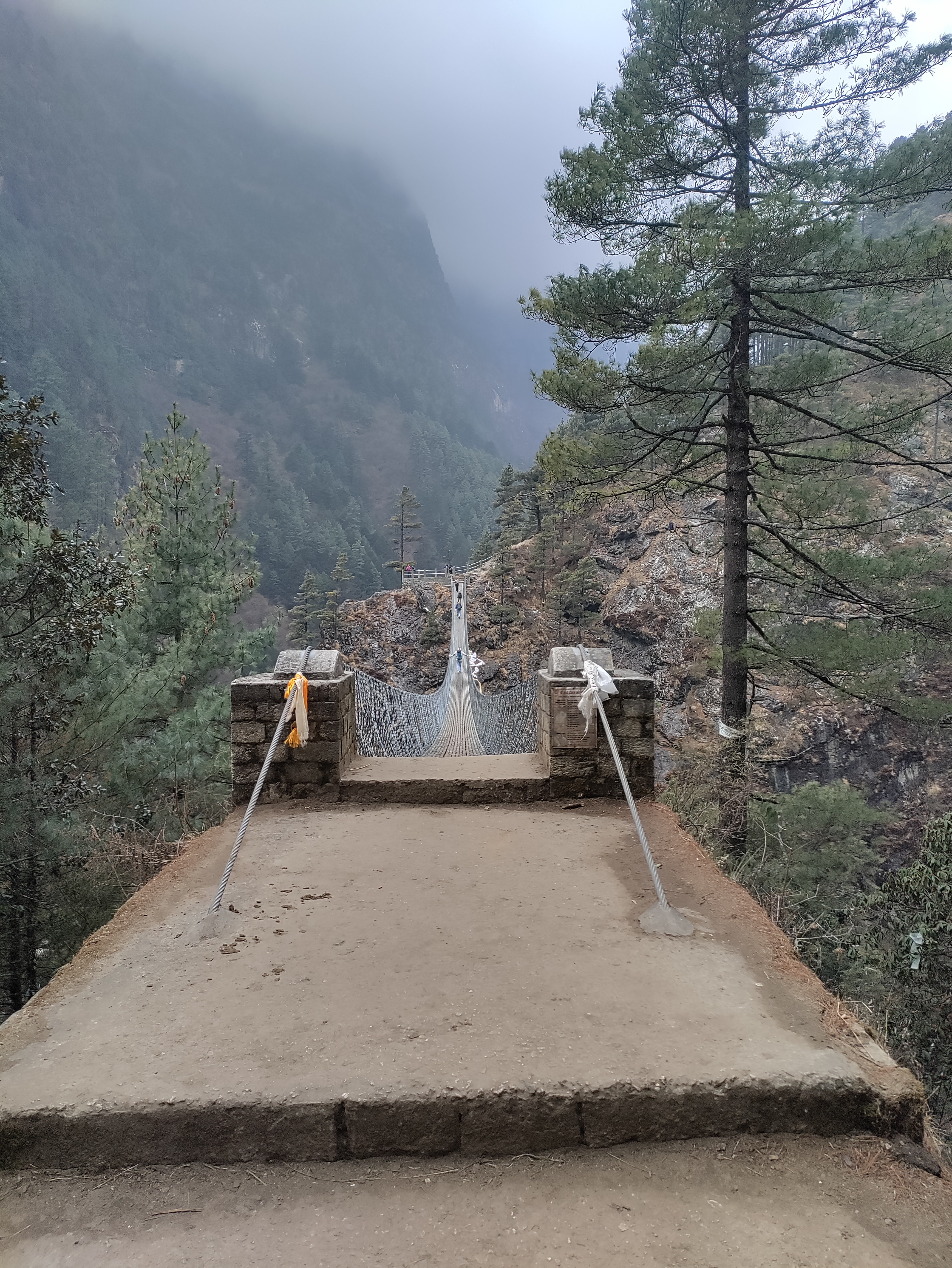
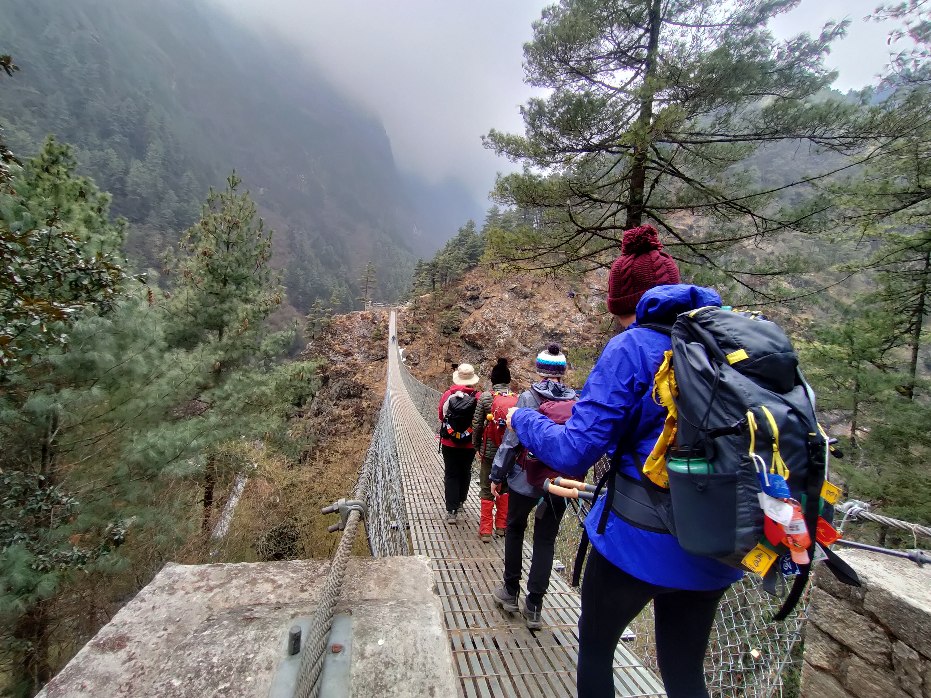
One of the notable crossings is the Hillary Suspension Bridge, one of the most recognizable landmarks on this section of the trail.
After crossing the high suspension bridge, the trail begins the long climb toward Namche. That climb takes patience. That climb takes patience. People who push too hard here often arrive exhausted, and we would rather reach Namche slowly with energy left than save twenty minutes and feel terrible afterwards.
Once in Namche, there is time to explore the village, where you will find bakeries, cafés, shops, and places to withdraw cash before settling in for the evening.
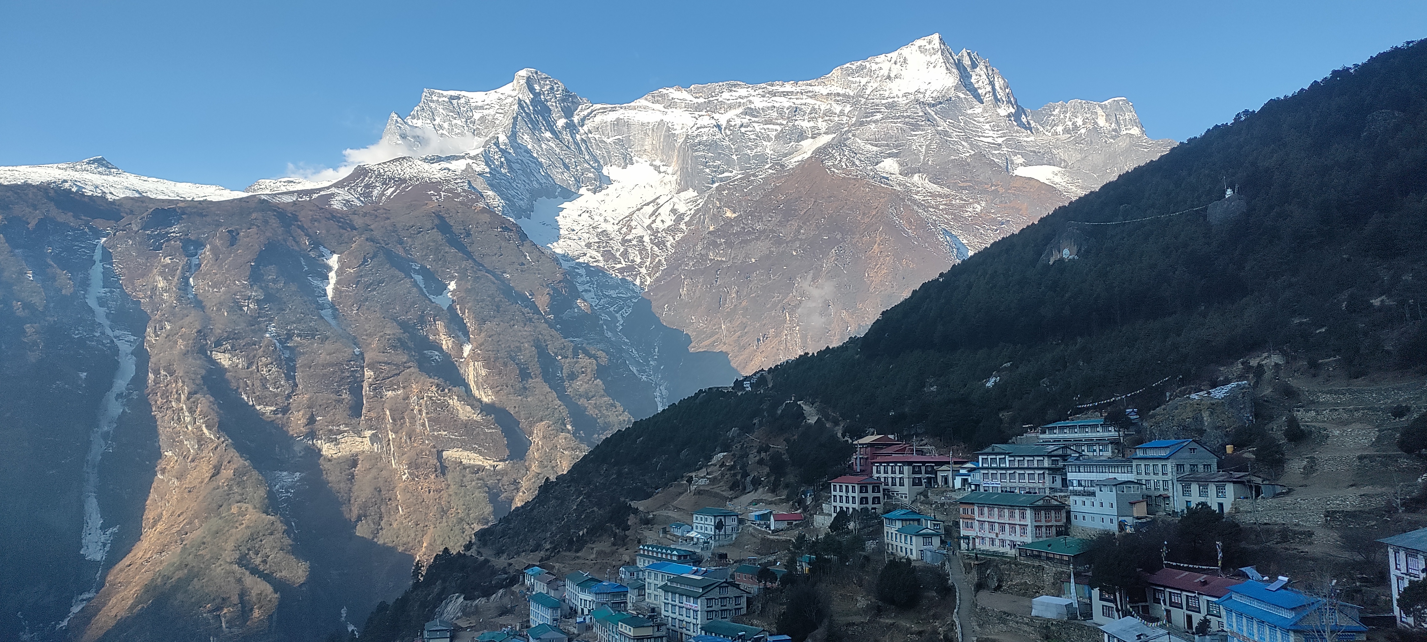
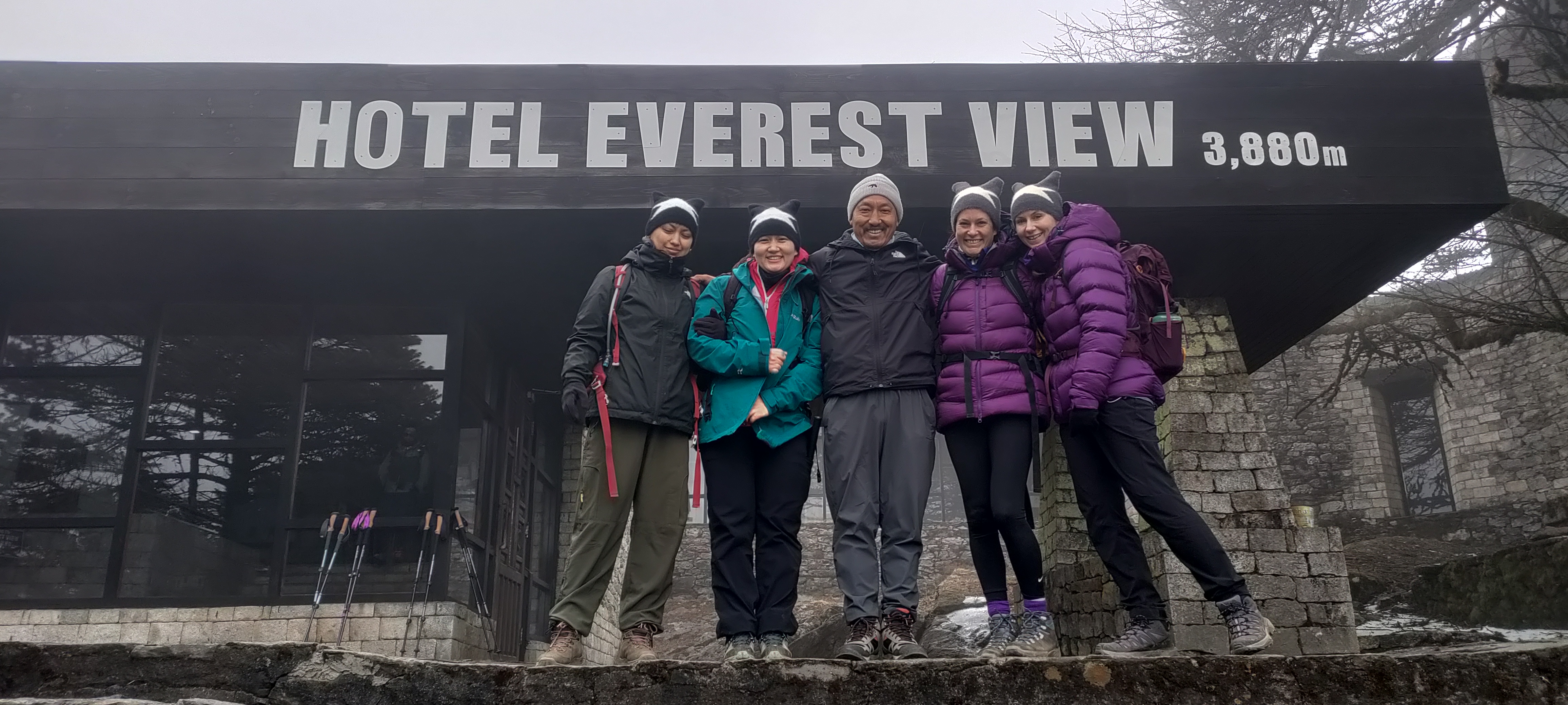
We call this an acclimatization day. Today we walk above Namche and then come back down to sleep at the same altitude. Depending on weather and how the group is feeling, we normally climb toward the Everest View Hotel area and may continue toward Khumjung.
The walk toward Khumjung involves gaining roughly 300 meters above Namche, and the route may also take you past local schools and Buddhist sites.
The idea is simple: climb high, sleep low. After the walk, we return to Namche, eat well, drink plenty of water, and take the afternoon quietly.
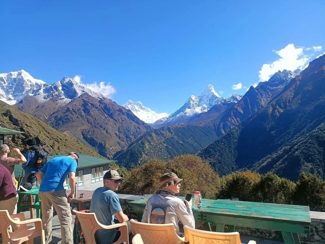
On a clear morning, Everest often becomes easy to spot among the surrounding mountains. Ama Dablam and Thamserku are usually much more visually dominant from this part of the trail.
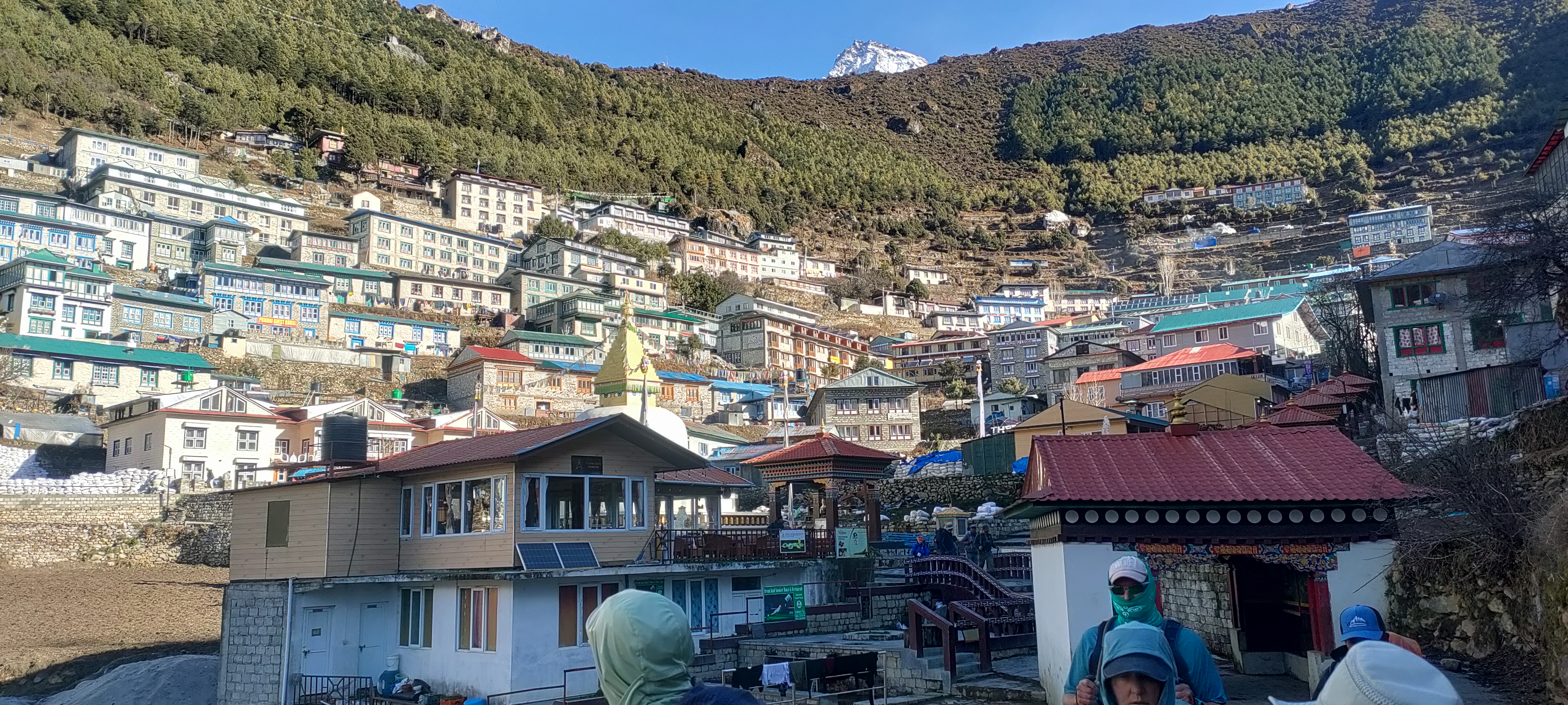
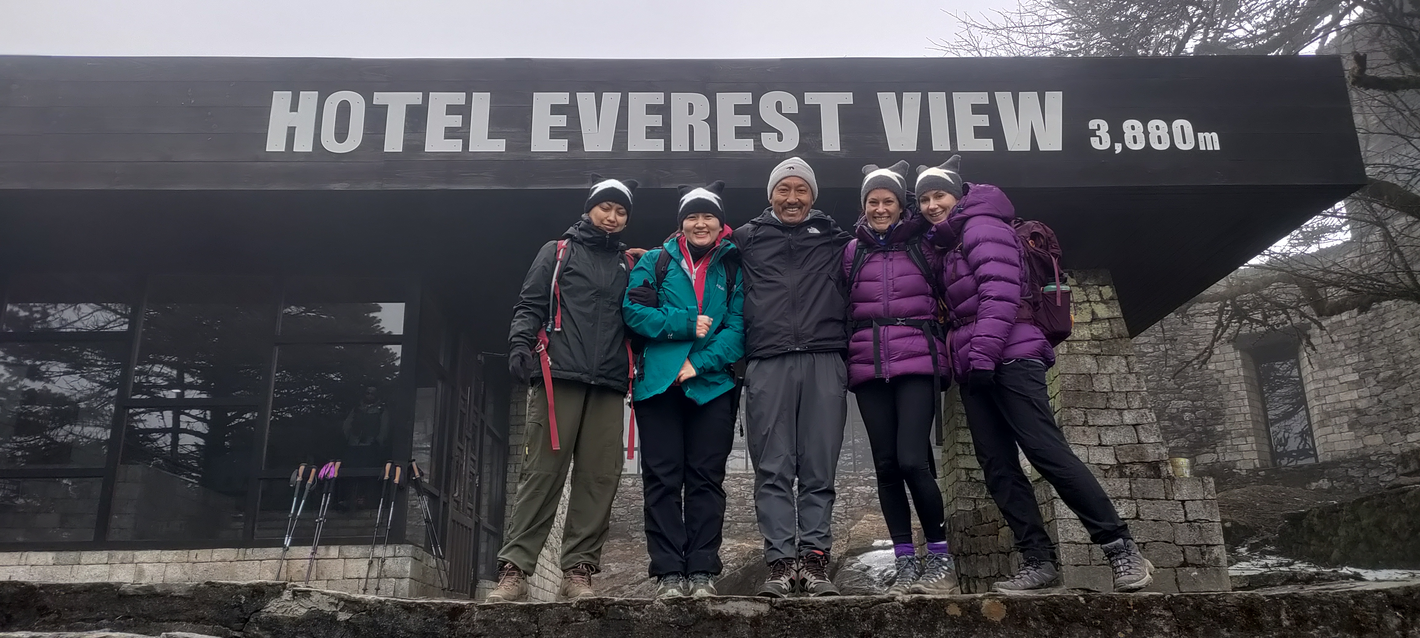
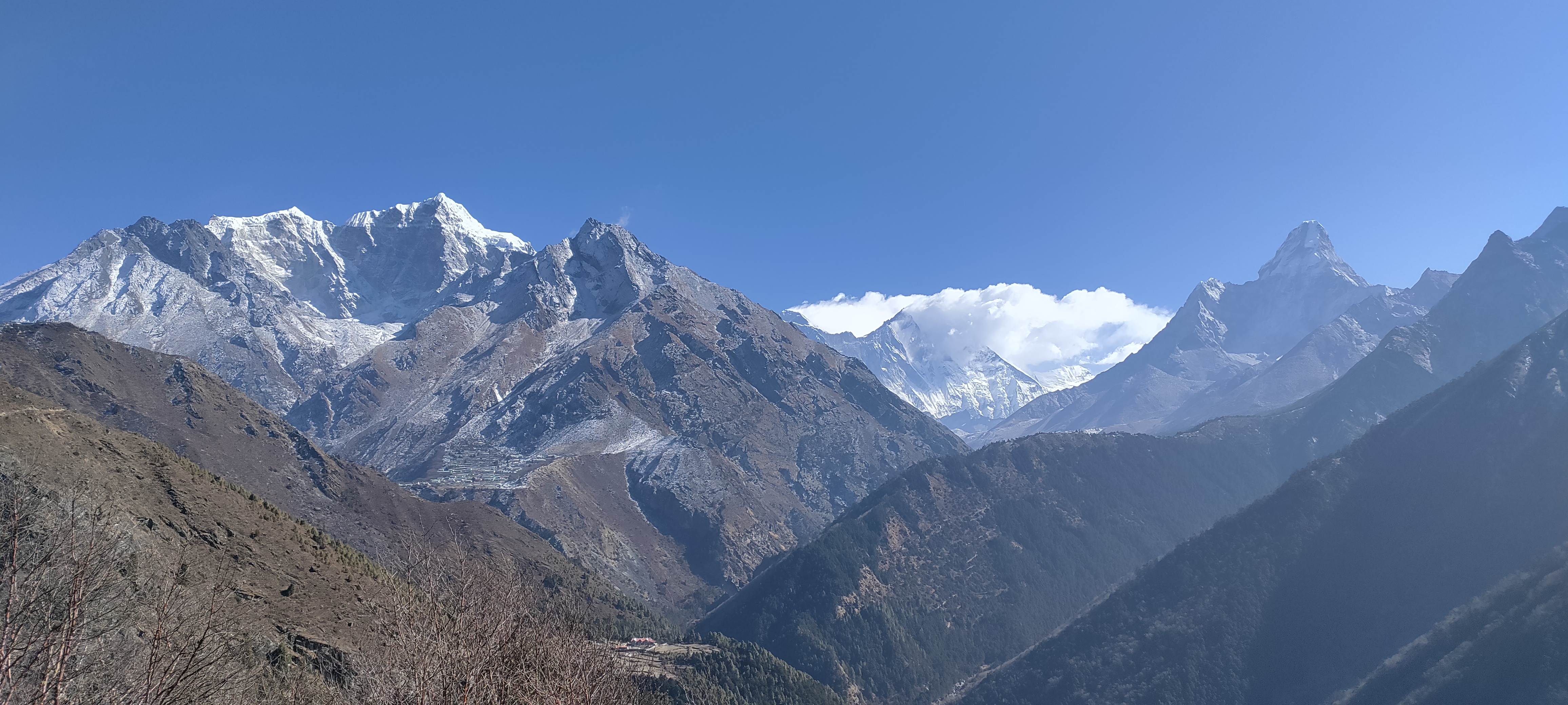
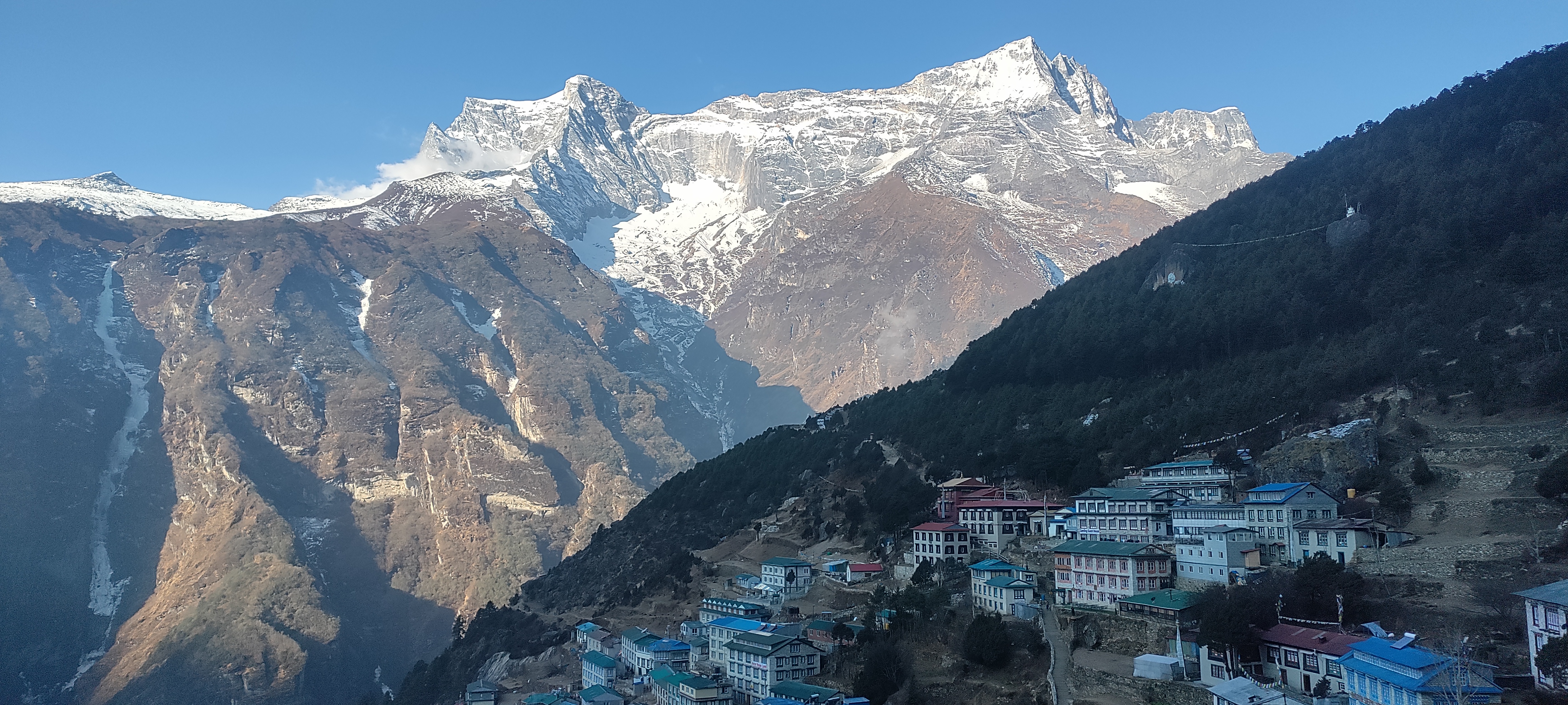
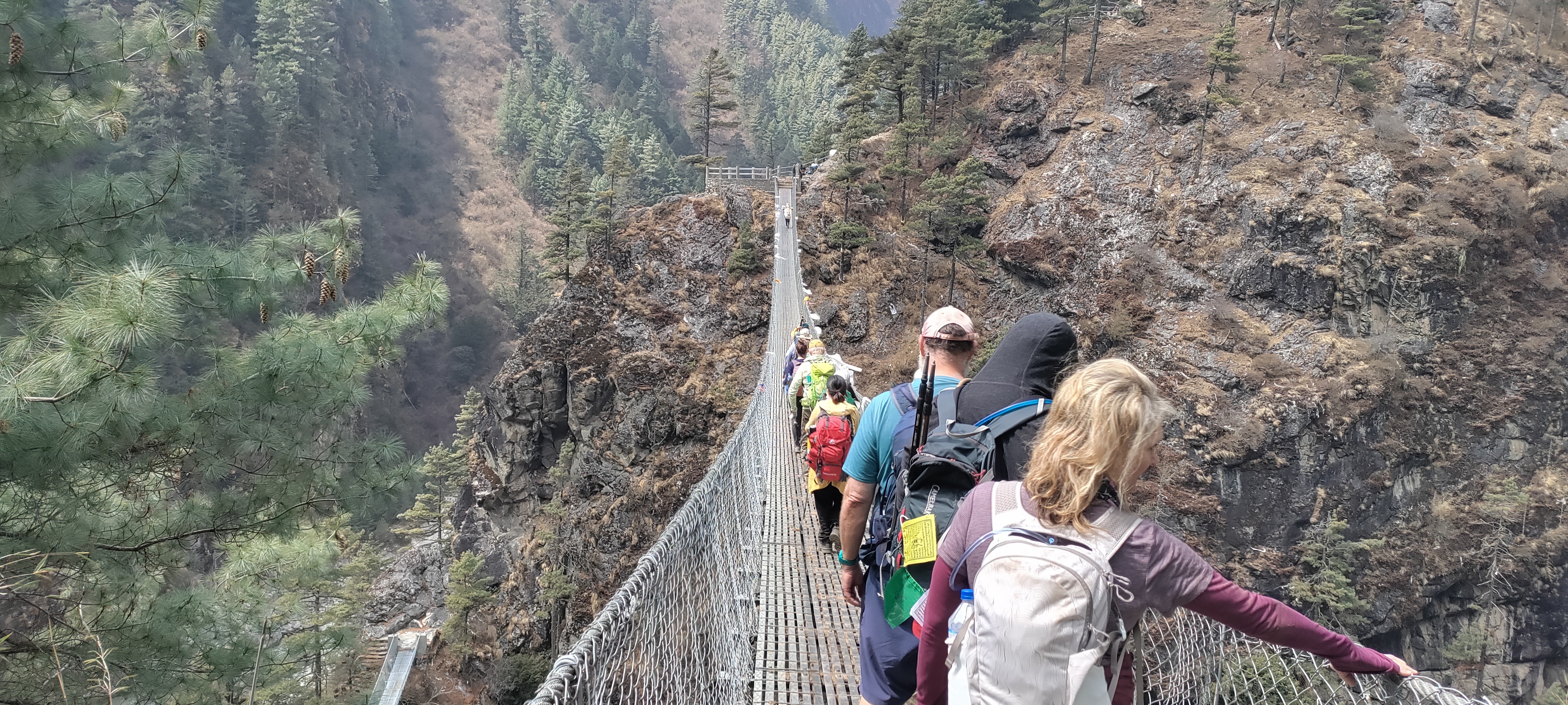
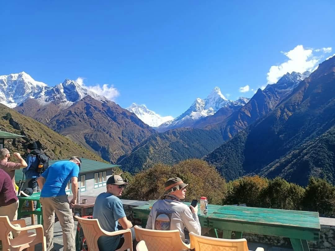
The first section out of Namche is one of the most pleasant walks on this route. The trail follows the mountainside with long views across the valley, and on a clear day Everest, Lhotse, Ama Dablam, and Thamserku remain visible for much of the morning.
This day, we descend all the way toward the Dudh Koshi before climbing again to Tengboche. Losing altitude only to regain it can feel frustrating, but that up-and-down pattern is important in the Himalaya for the trekkers.
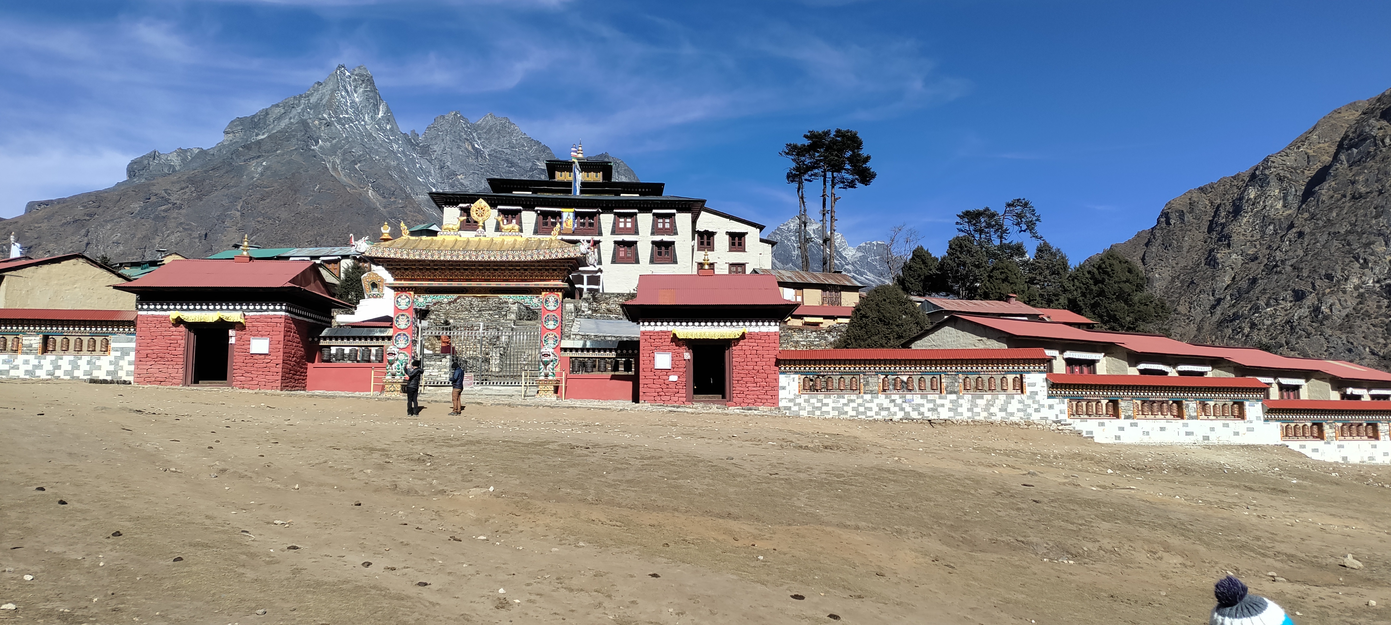
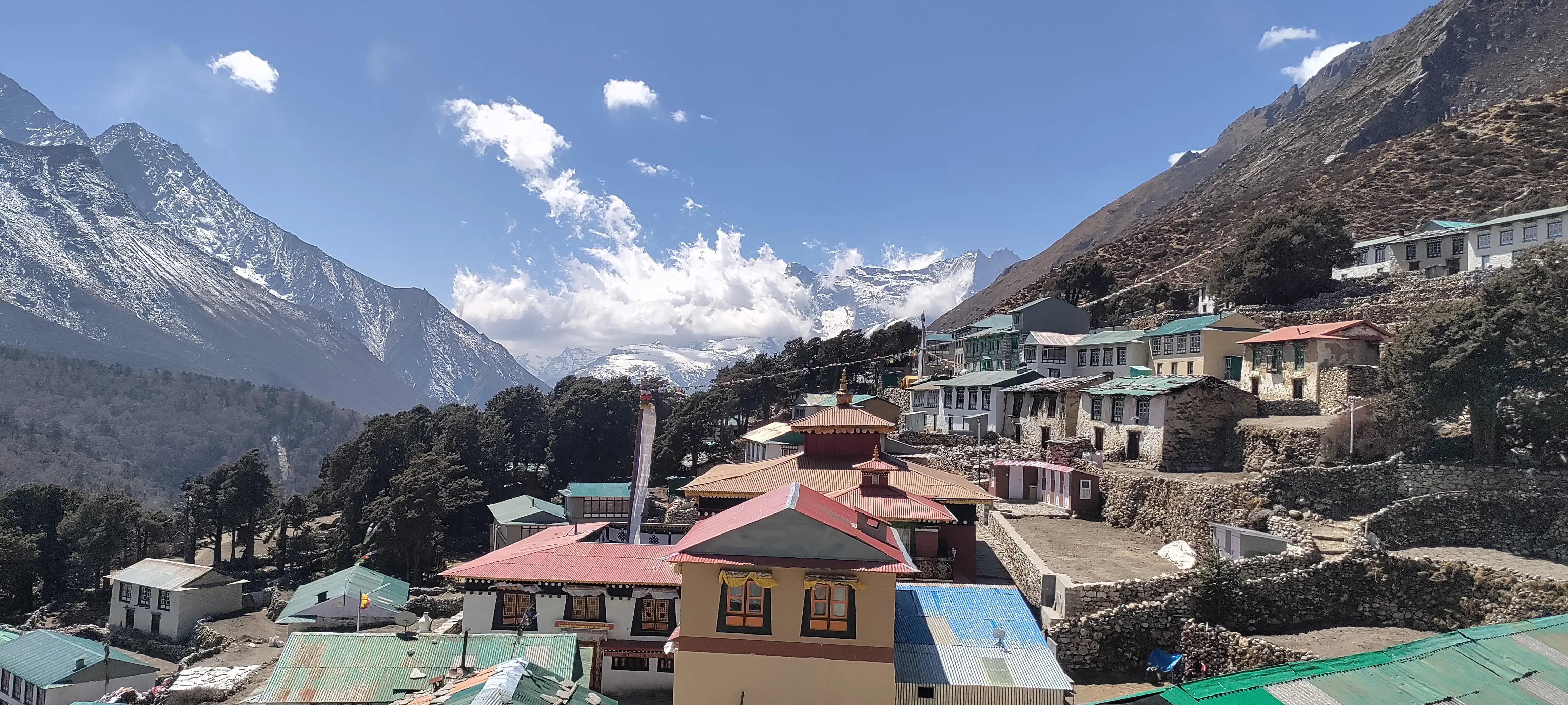
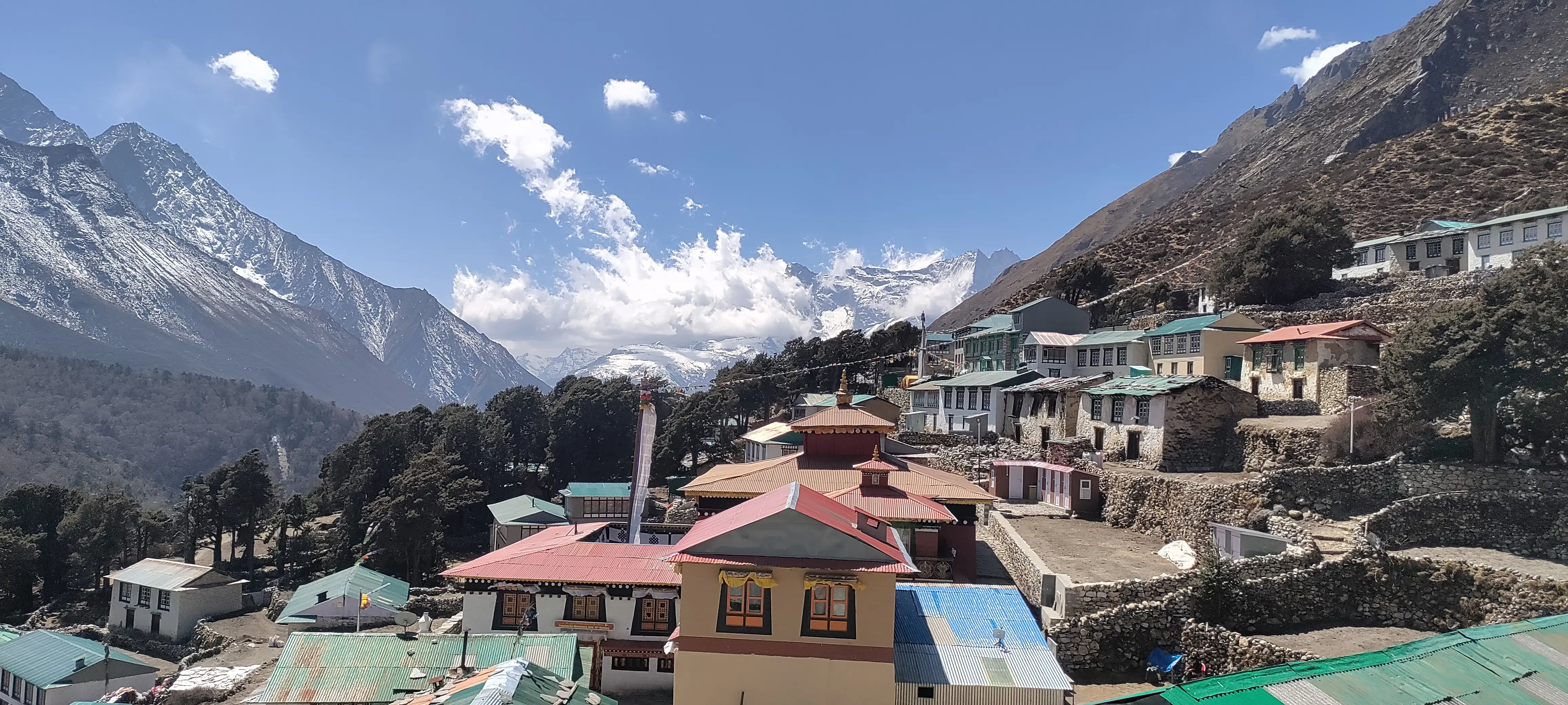
After reaching Tengboche, you can visit the famous Tengboche Monastery, an important Buddhist site for the Sherpa community and one of the cultural highlights of the trek.
If the monastery is open to visitors and the timing allows, you may also have the opportunity to observe the evening prayer ceremony and experience its quiet atmosphere.
The monastery is also closely associated with trekkers and mountaineers who come through the region before continuing toward Everest and the higher valleys.
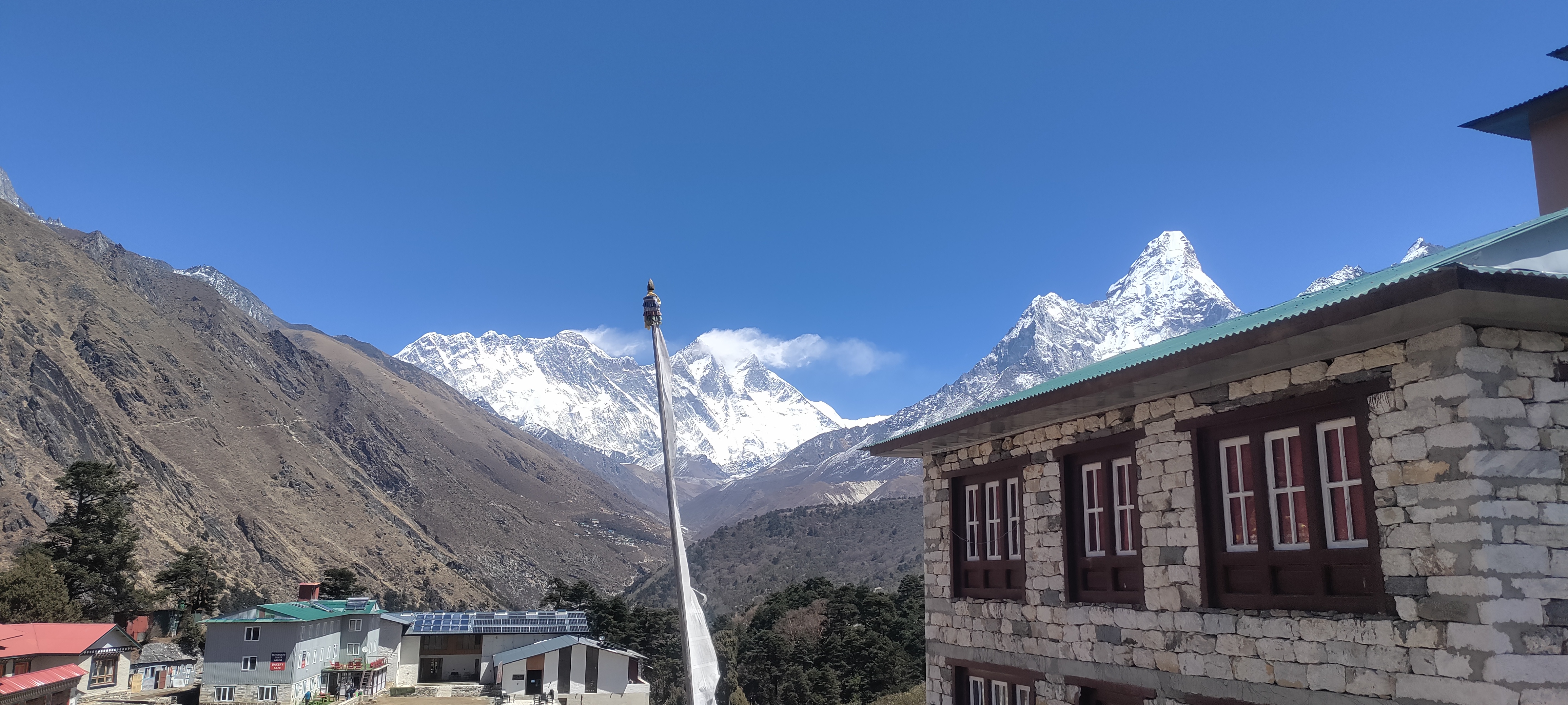
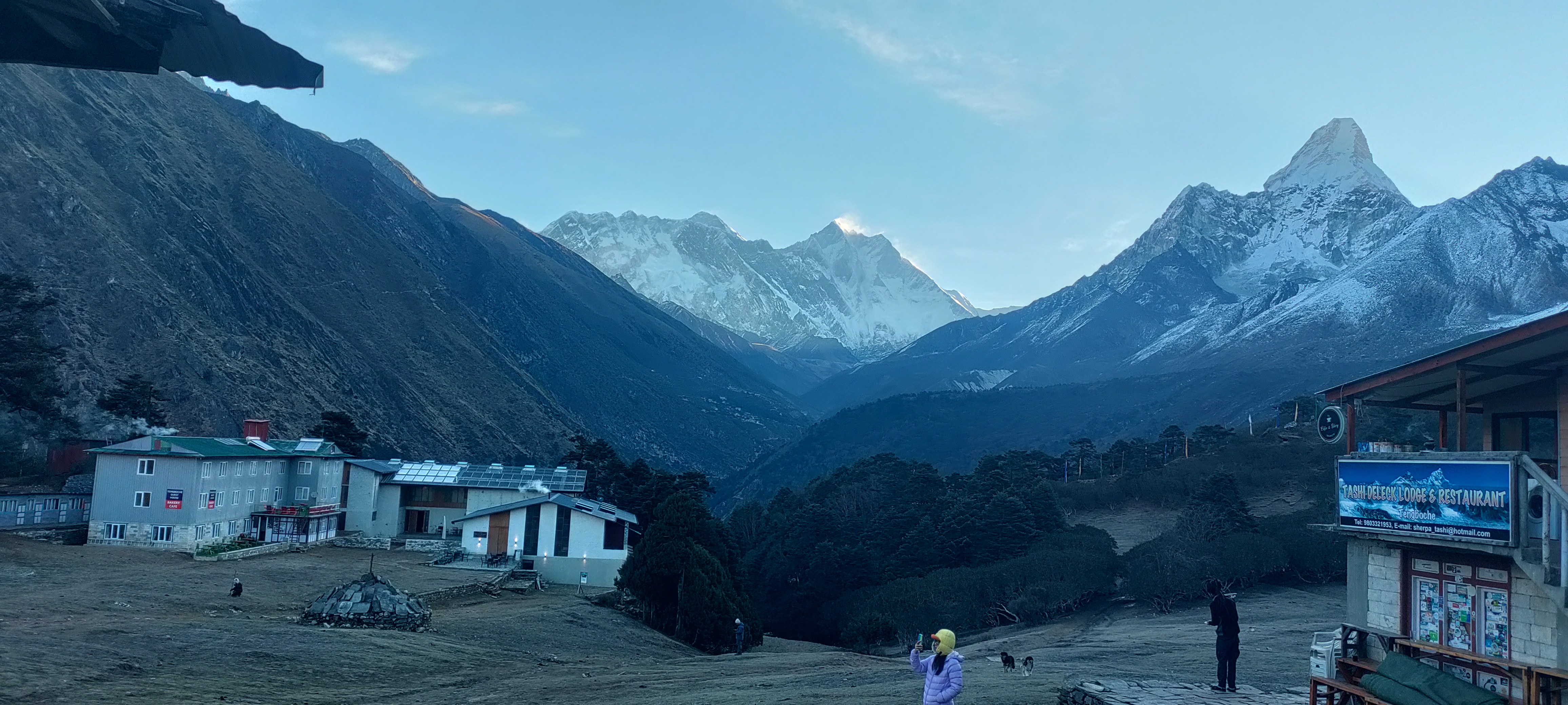
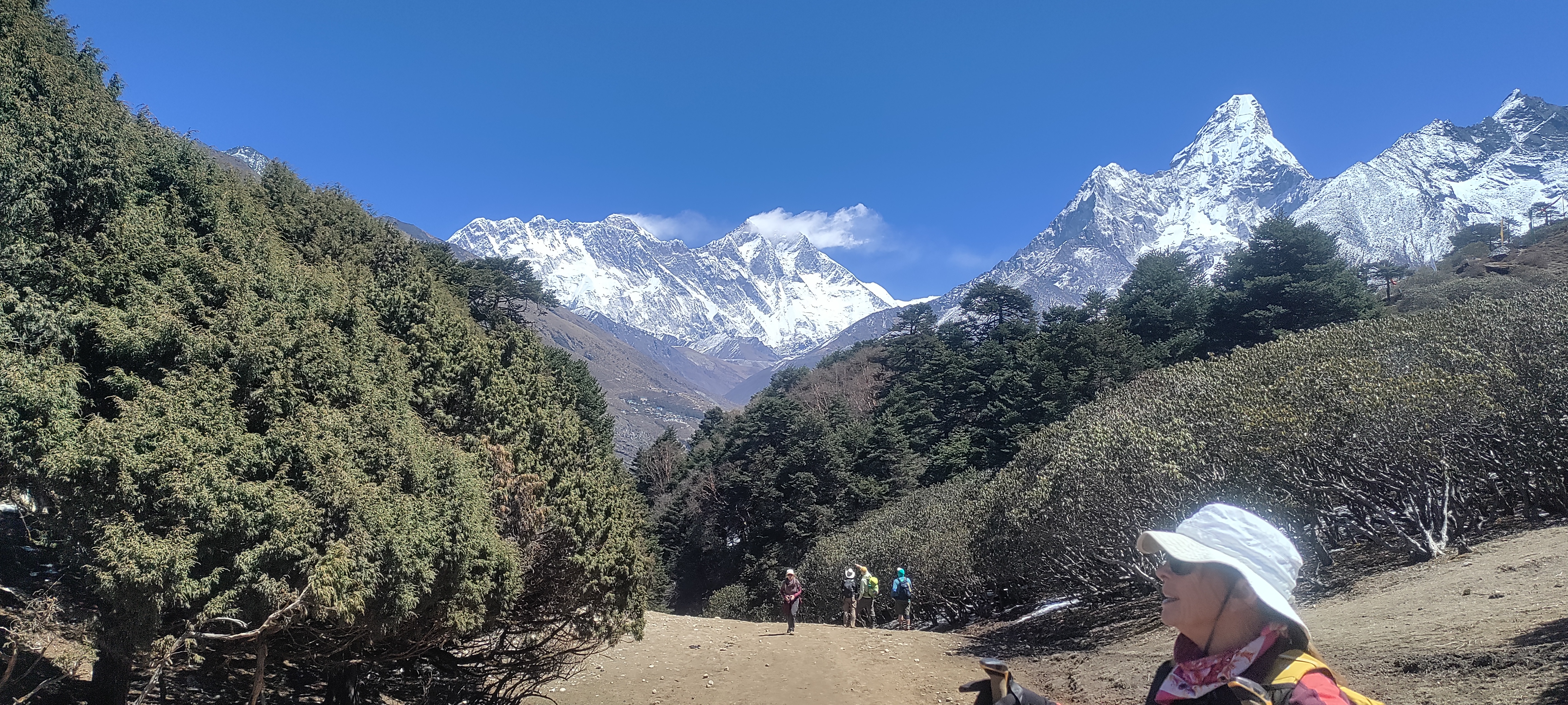
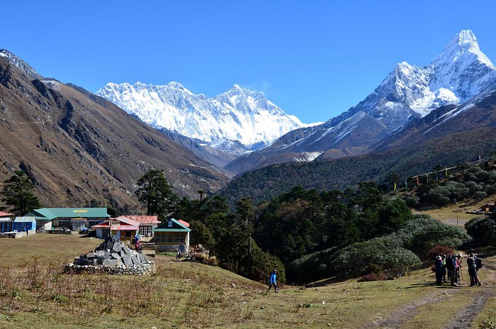
This is the day the landscape starts to look noticeably different. After leaving Tengboche, the thick forest gradually thins out. Trees become smaller, the valley opens, and dry alpine terrain starts replacing the greener landscape below.
The trail passes through small mountain settlements along the way, giving you a closer look at how people live in the higher parts of the Khumbu.
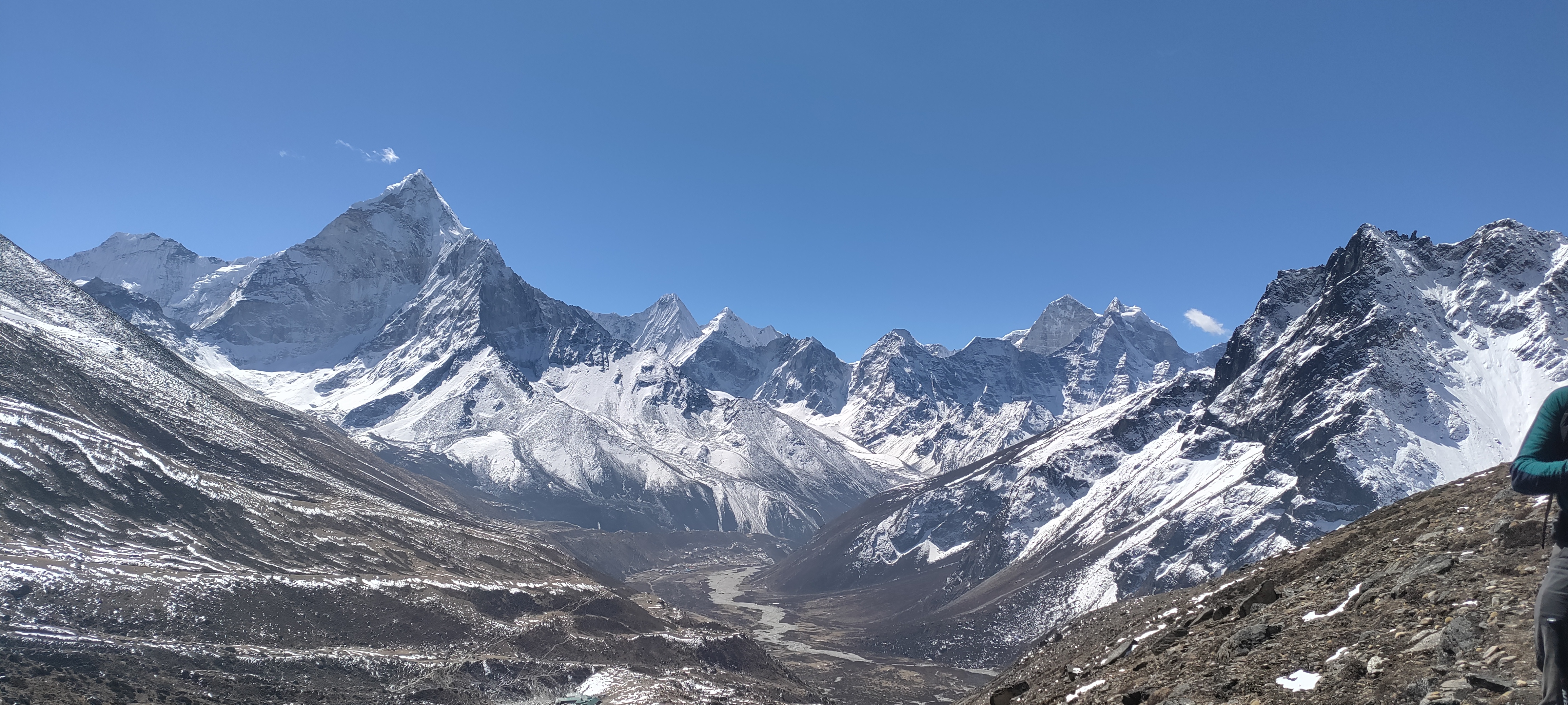
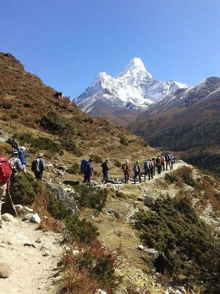
Ama Dablam stays close to the route for much of the day. The mountain’s shape changes as you move around it, and it becomes one of the easiest landmarks to recognize along this section.
By the time you reach Dingboche, the open valley and scattered guesthouses create a very different atmosphere from the forested trail below.
We are lucky to have spent two nights here because the surrounding mountain views will never be enough to enjoy.
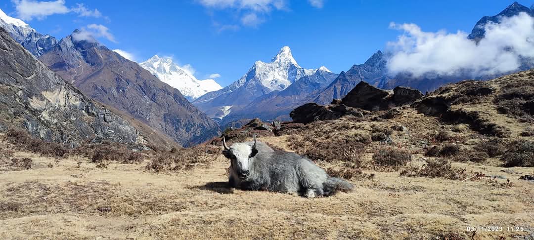
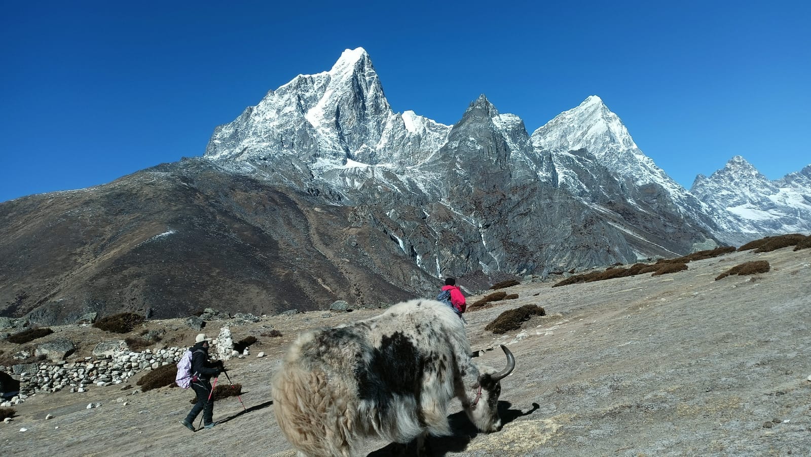
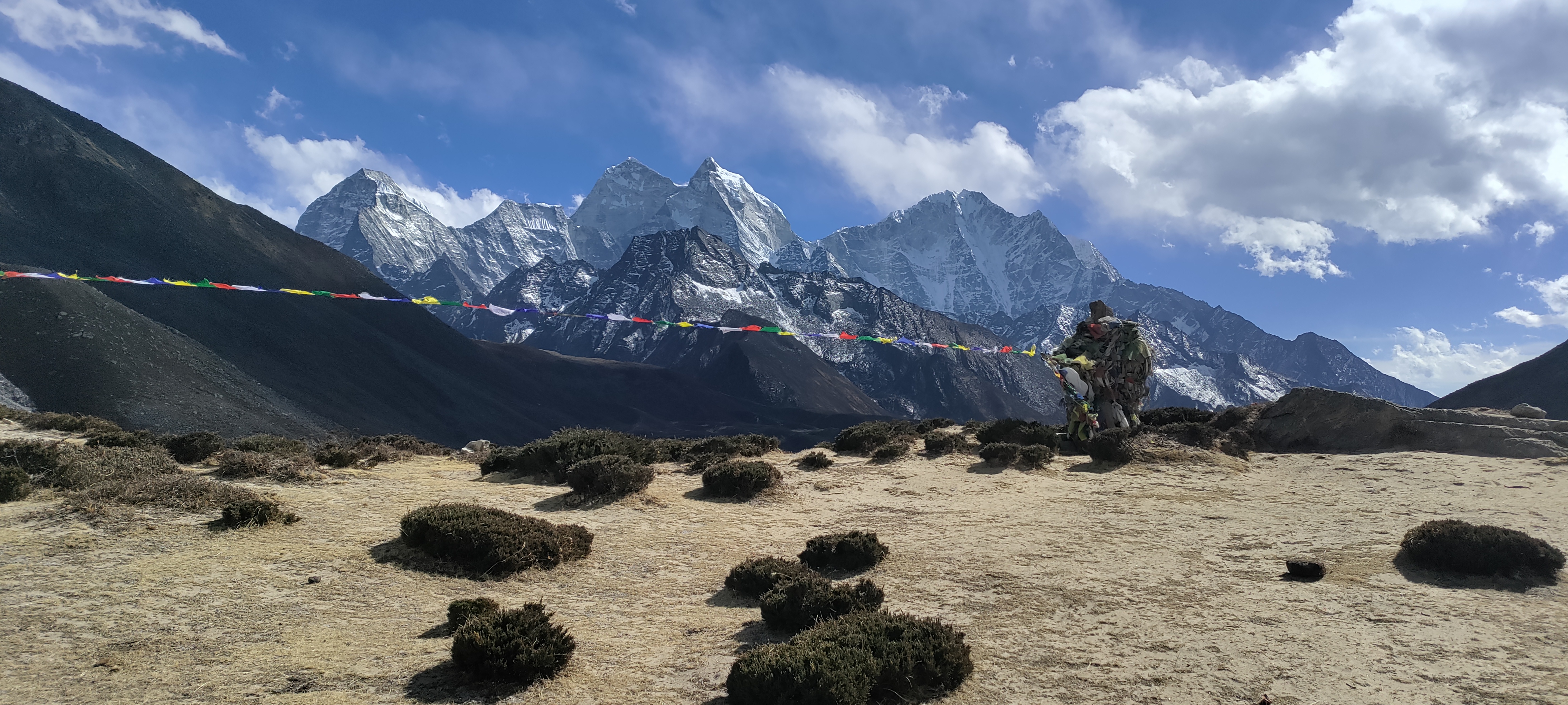
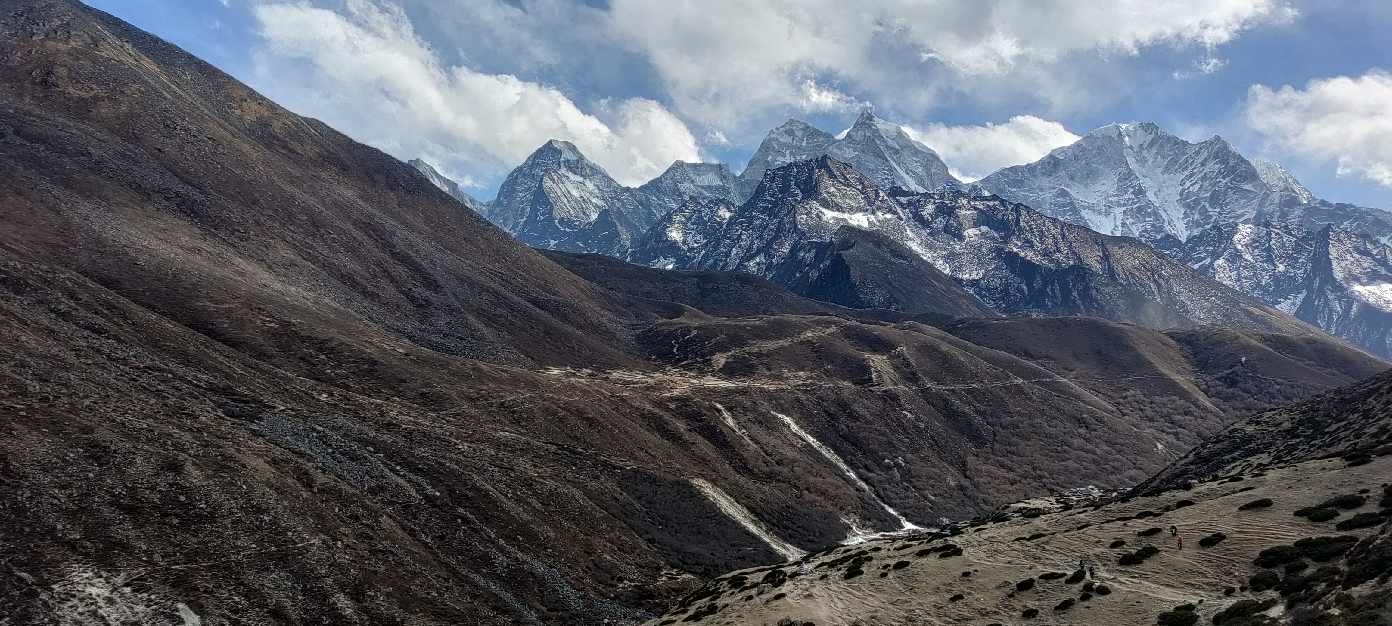
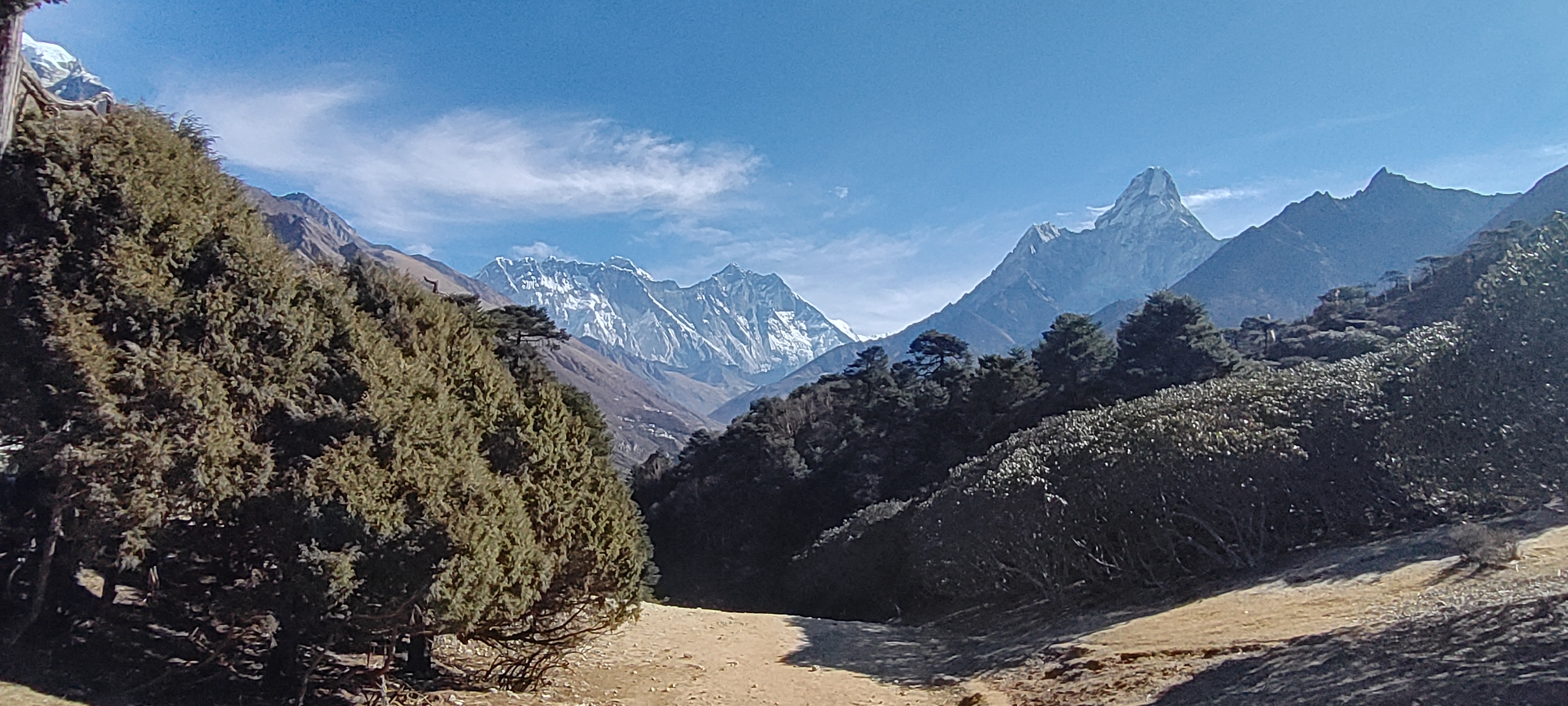
This day has the shortest travel time of the journey, but it's one of the most important ones. After breakfast, we climb toward the ridge above Dingboche, towards Nangkartshang. As we gain height, the view opens across Ama Dablam, Lhotse, Island Peak, Makalu, and the surrounding valleys.
The scenery is a bonus, but the real purpose of the hike is acclimatization. We want your body to spend some time close to 5,000 m before you sleep lower again at 4,360 m. After returning to Dingboche, we keep the rest of the day simple: lunch, water, warm drinks, and rest.
There is also time to relax in one of Dingboche's cafés or bakeries before spending another night at altitude.
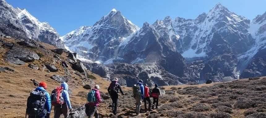
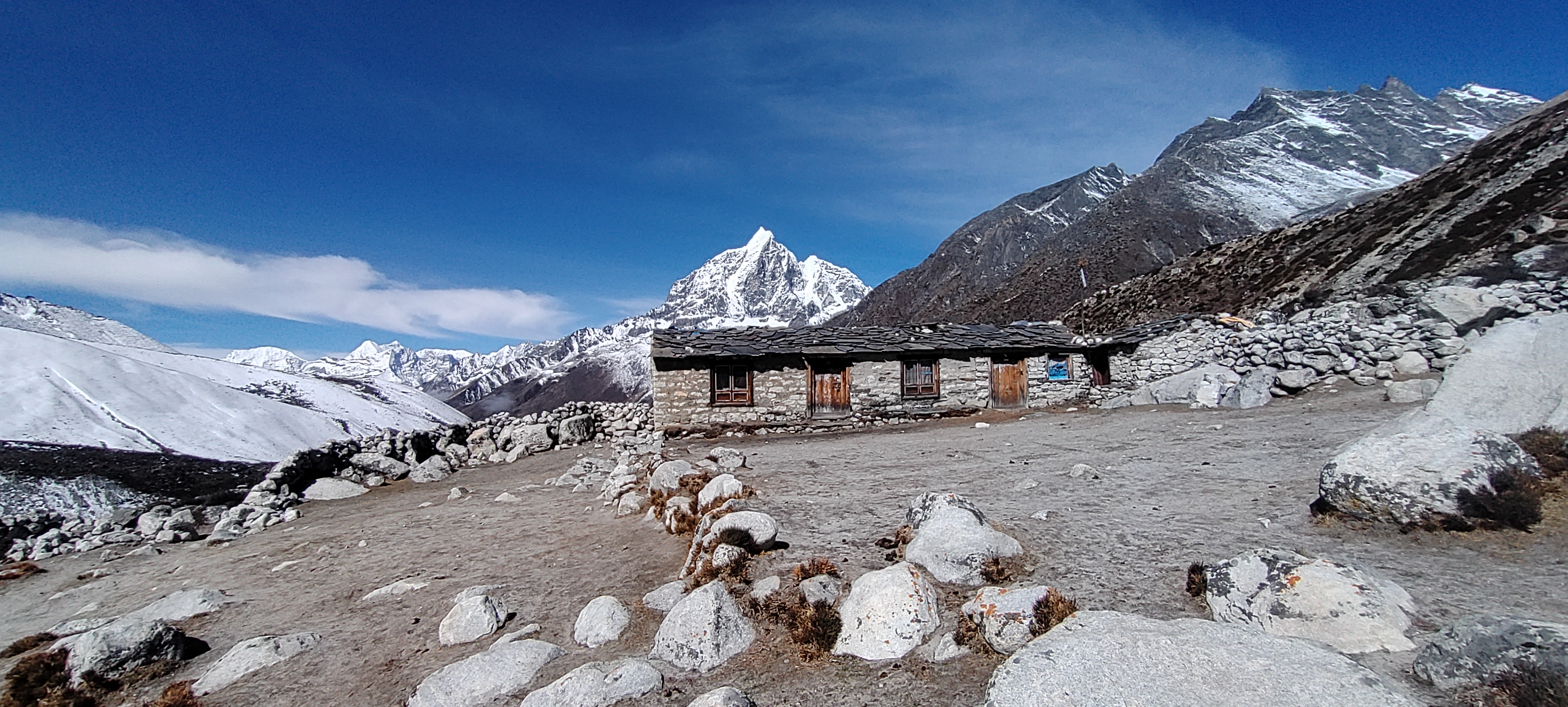
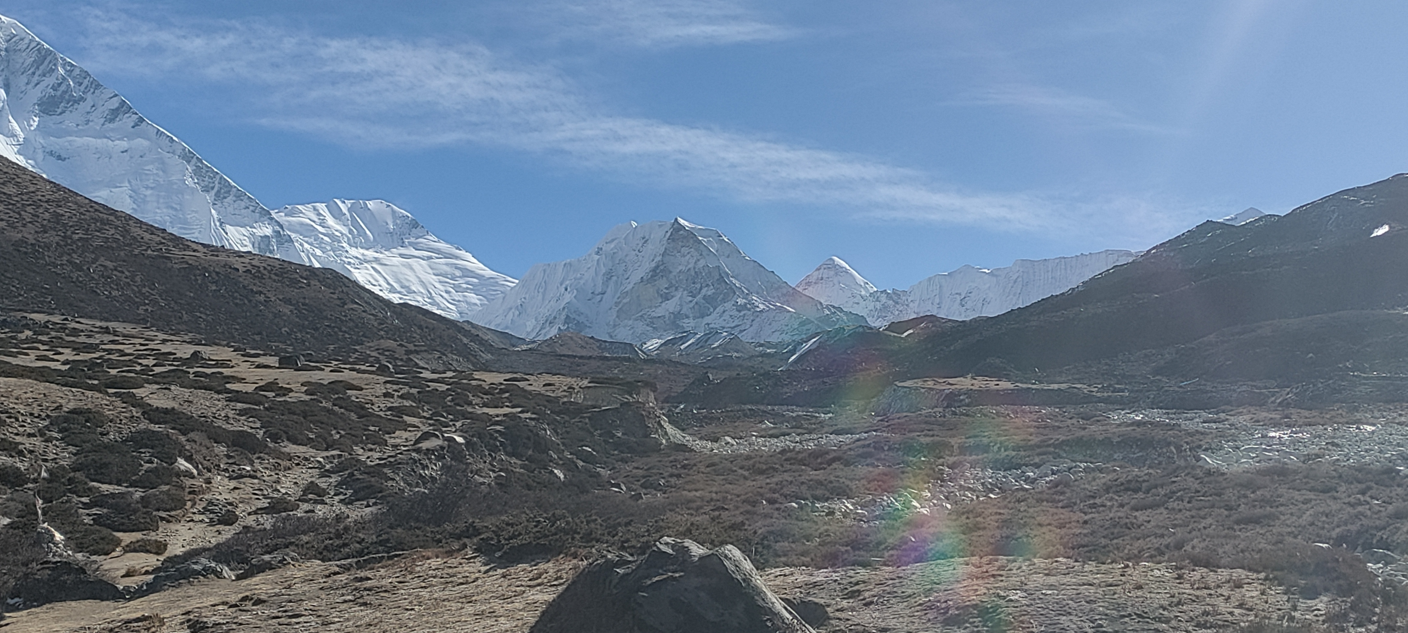
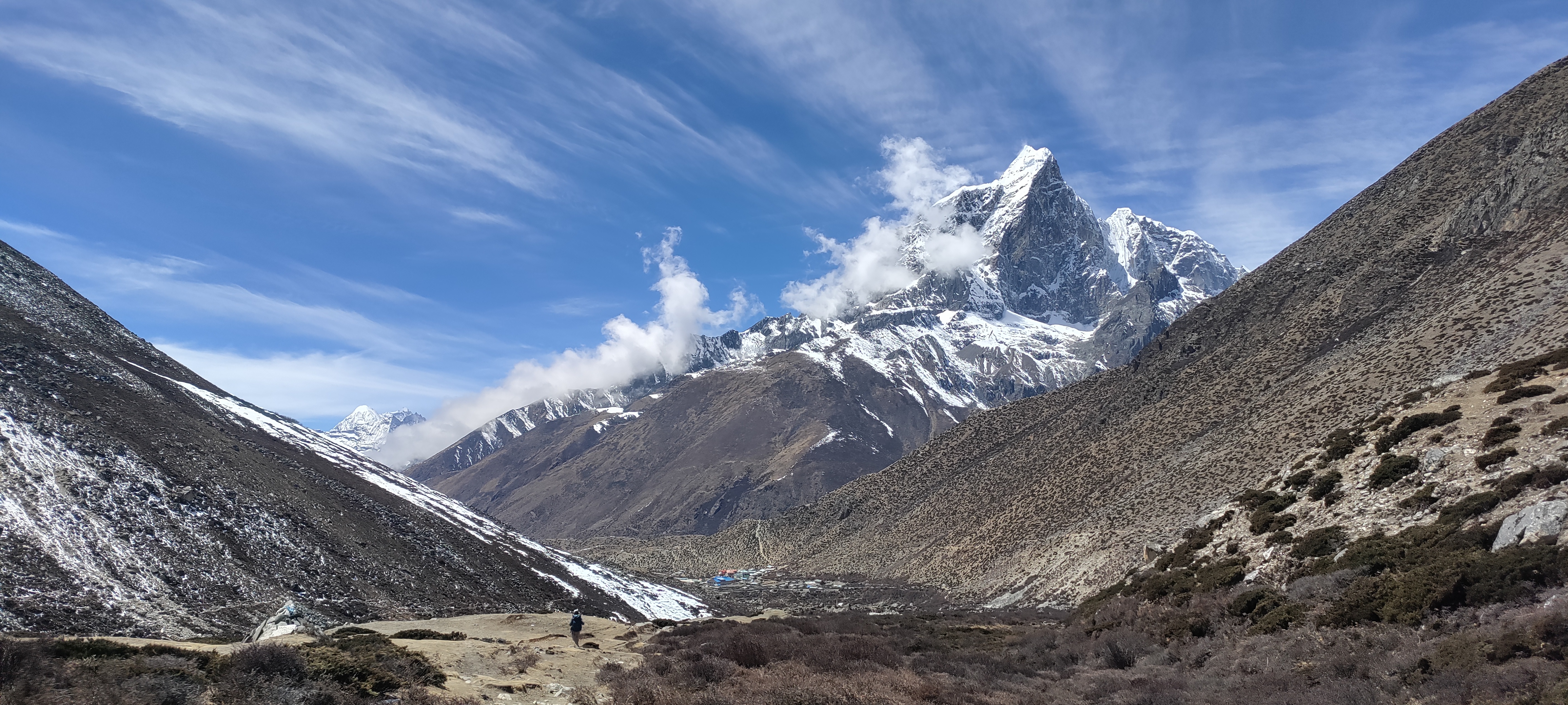
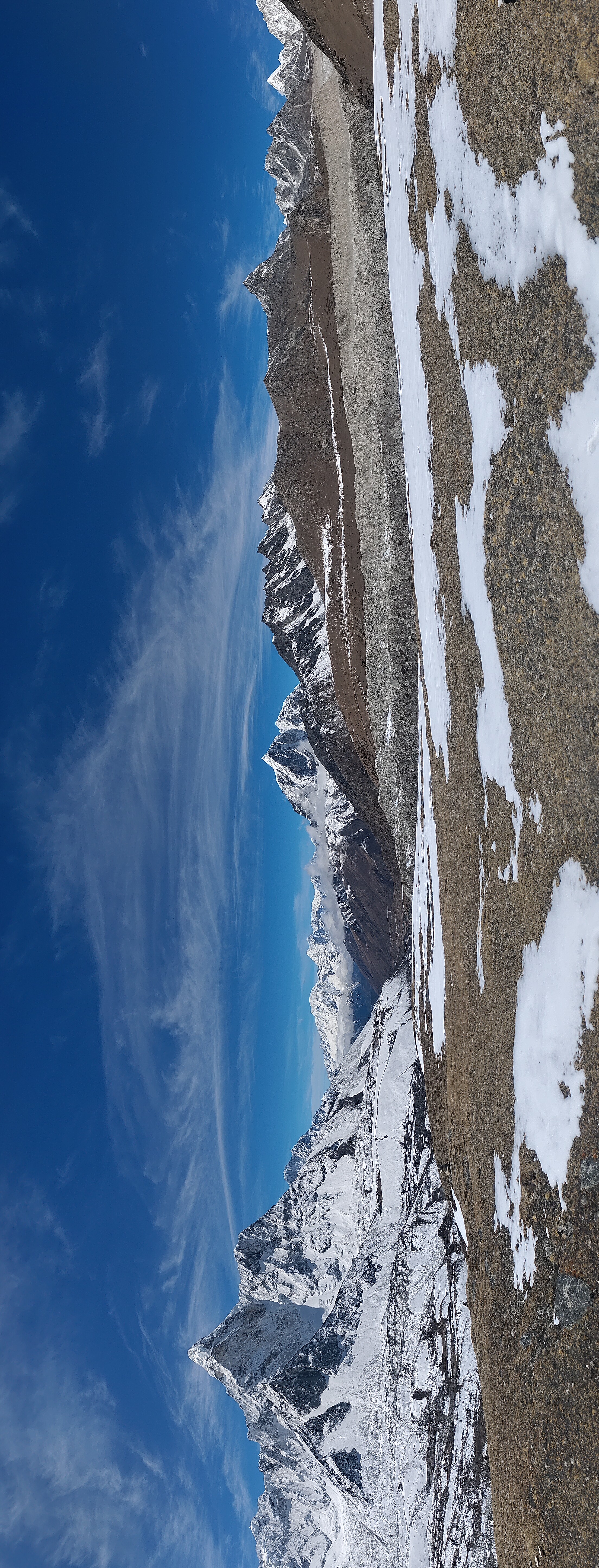
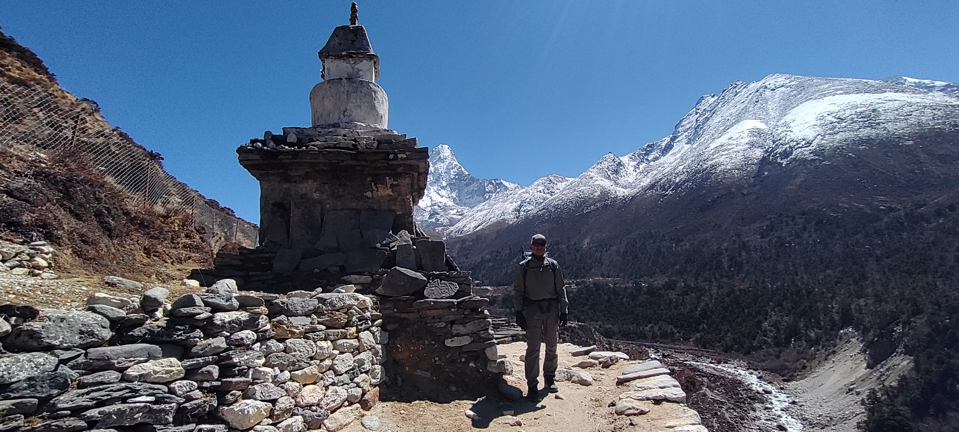
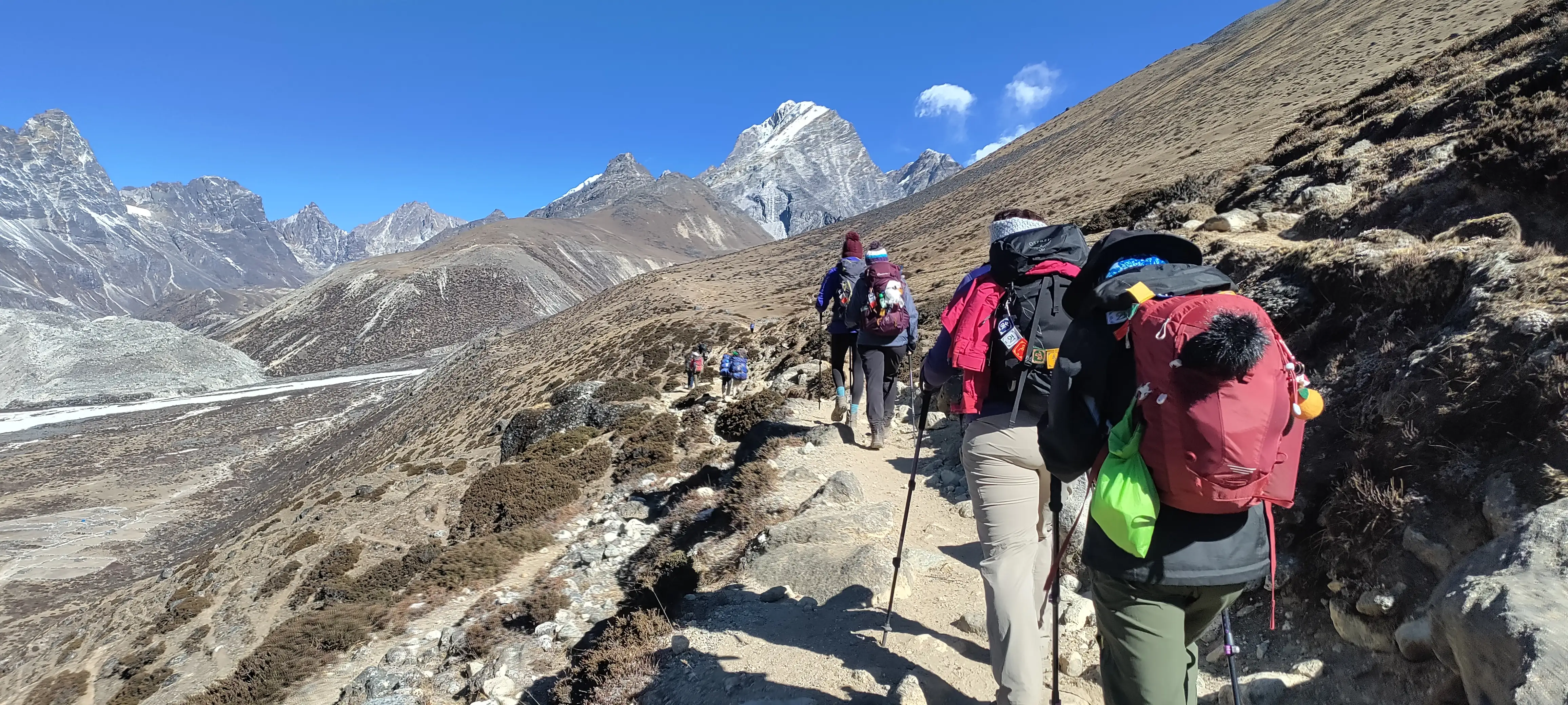
The walk to Lobuche takes us into a much more exposed landscape. After reaching Thukla, we begin the steep climb toward the memorial area above the village. The climb itself is not especially long, but at this altitude it can feel demanding.
The trail includes a crossing before Thukla, where trekkers can take a short break and have something to eat before continuing the climb.
At the top are memorials to climbers and Sherpas who lost their lives on Everest and other Himalayan expeditions. The environment naturally becomes quieter here, and it is worth taking some time to reflect at the memorial area.
From the memorials, the trail continues more gradually toward Lobuche at 4,940 m. Here, the facilities are basic, rooms are cold, and sleep is not always perfect at this altitude.
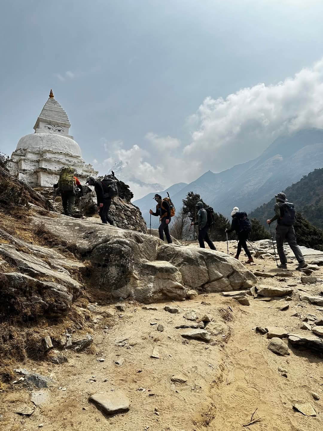
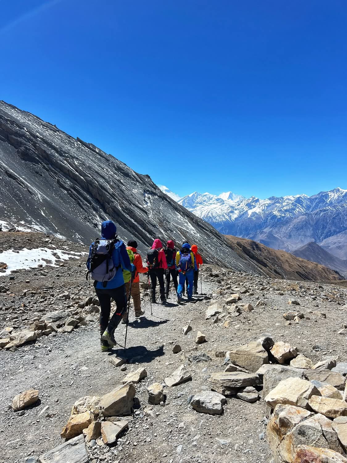
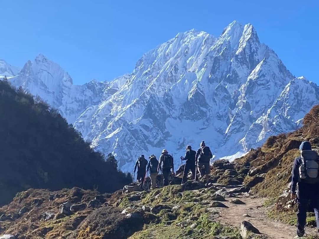
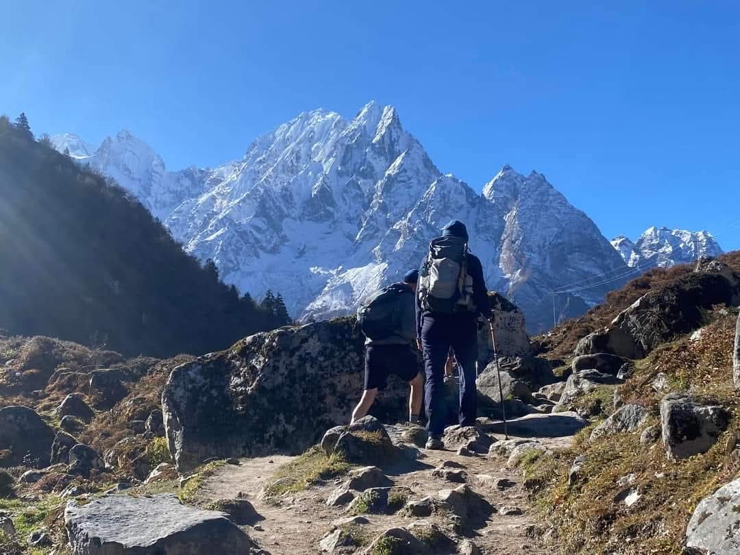
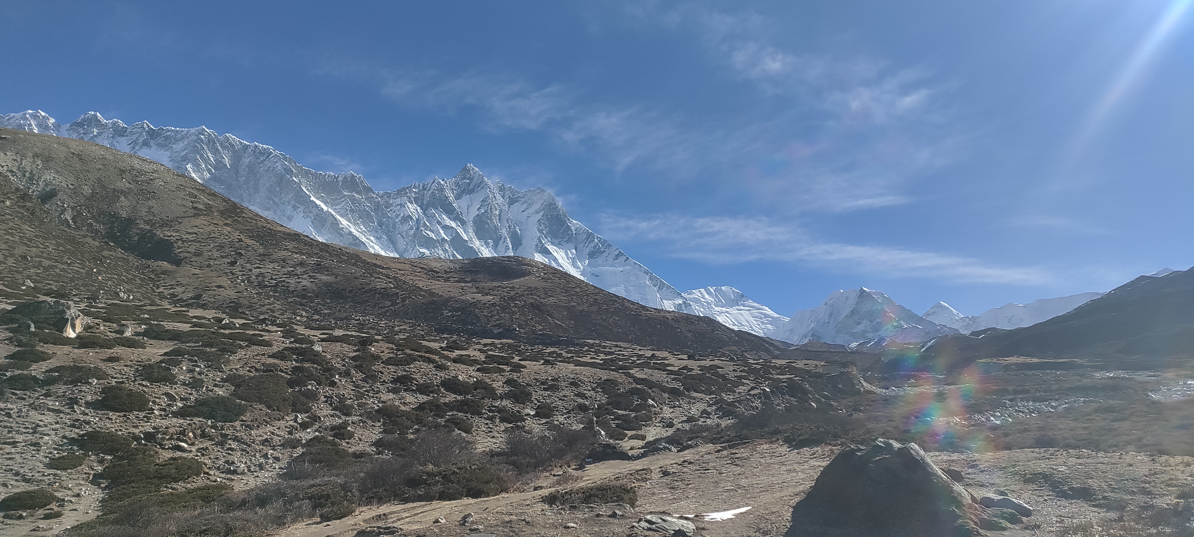
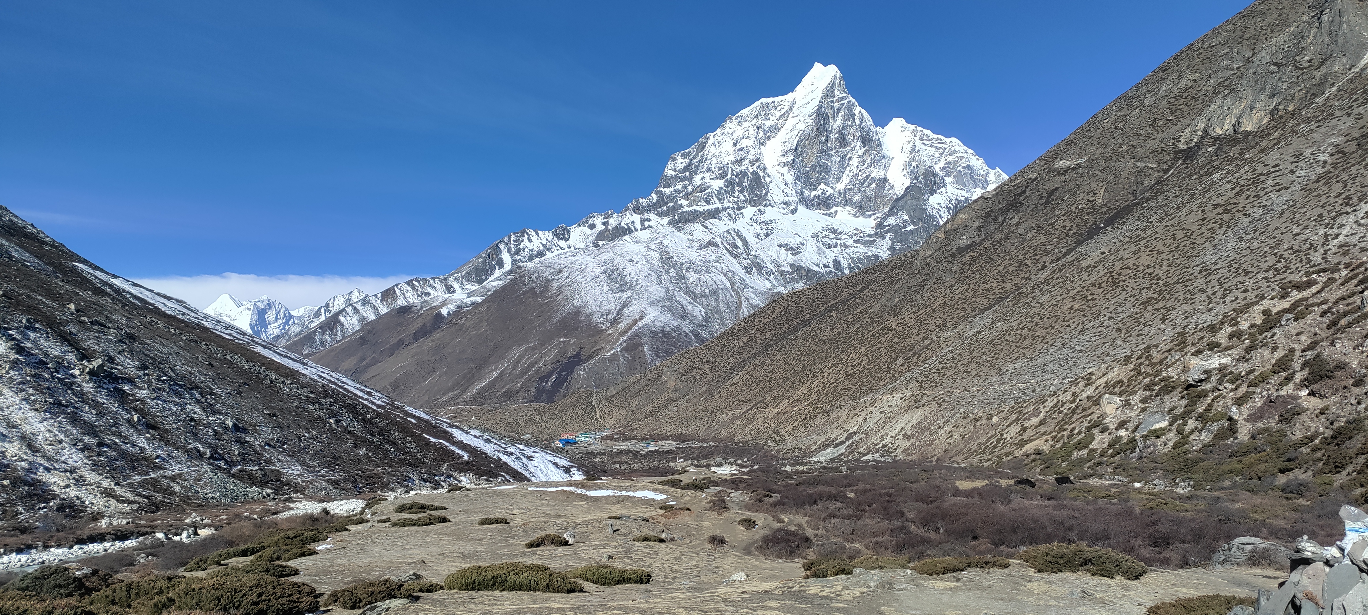
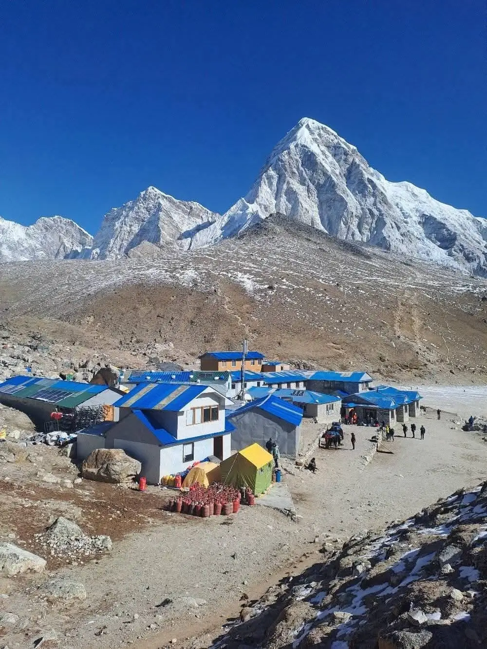
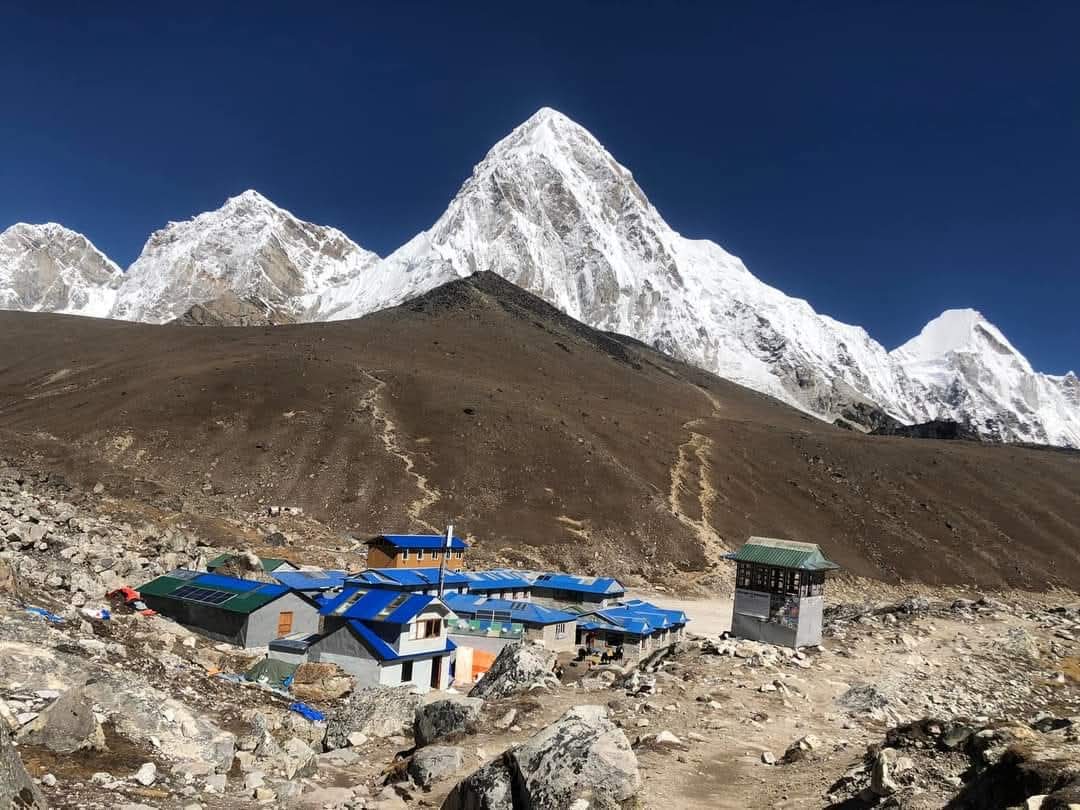
Today is the most important day of the trek. We leave Lobuche and walk toward Gorak Shep, the final settlement before Base Camp. The distance on the map is not huge, but at this altitude everything takes longer.
As we approach Gorak Shep, the trail becomes rougher, with rocky sections and small rises along the way.
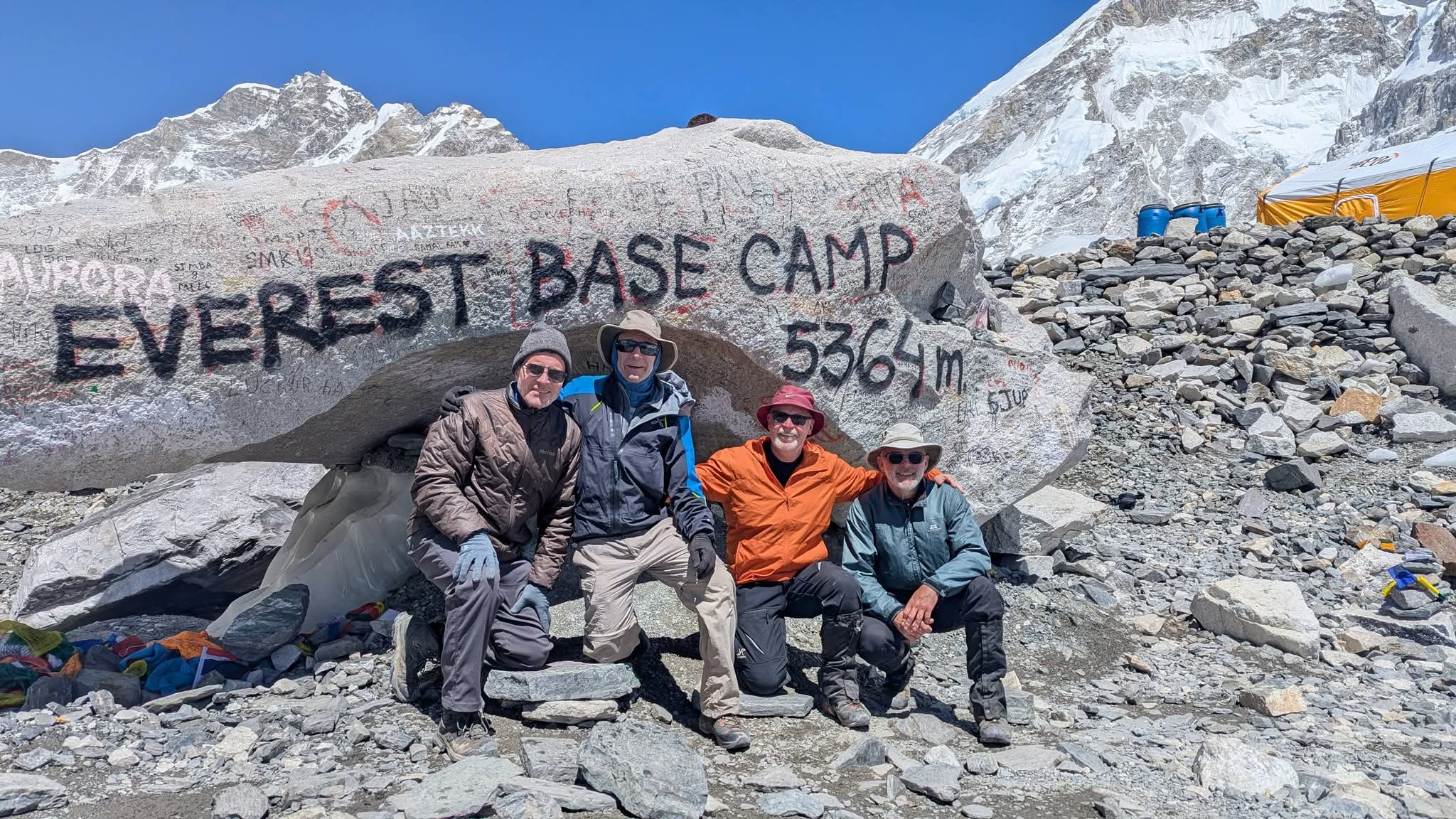
After reaching Gorak Shep, we leave unnecessary gear at the lodge, take a short rest and lunch, and continue toward Everest Base Camp with only the gear needed for the walk.
We keep the pace slow. Above 5,000 m, trying to stay with the fastest person in the group is one of the easiest ways to turn a good day into a miserable one. We recommend that you walk slowly and enjoy the moment around the highest base camp in the world.
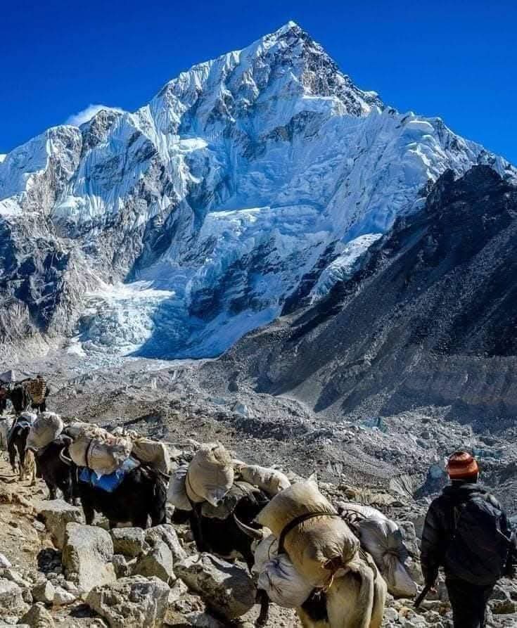
As we continue toward Everest Base Camp, we also get views of the Khumbu Icefall, one of the most iconic sights in the Everest region.
After spending some time at Base Camp, we return to Gorak Shep for the night.
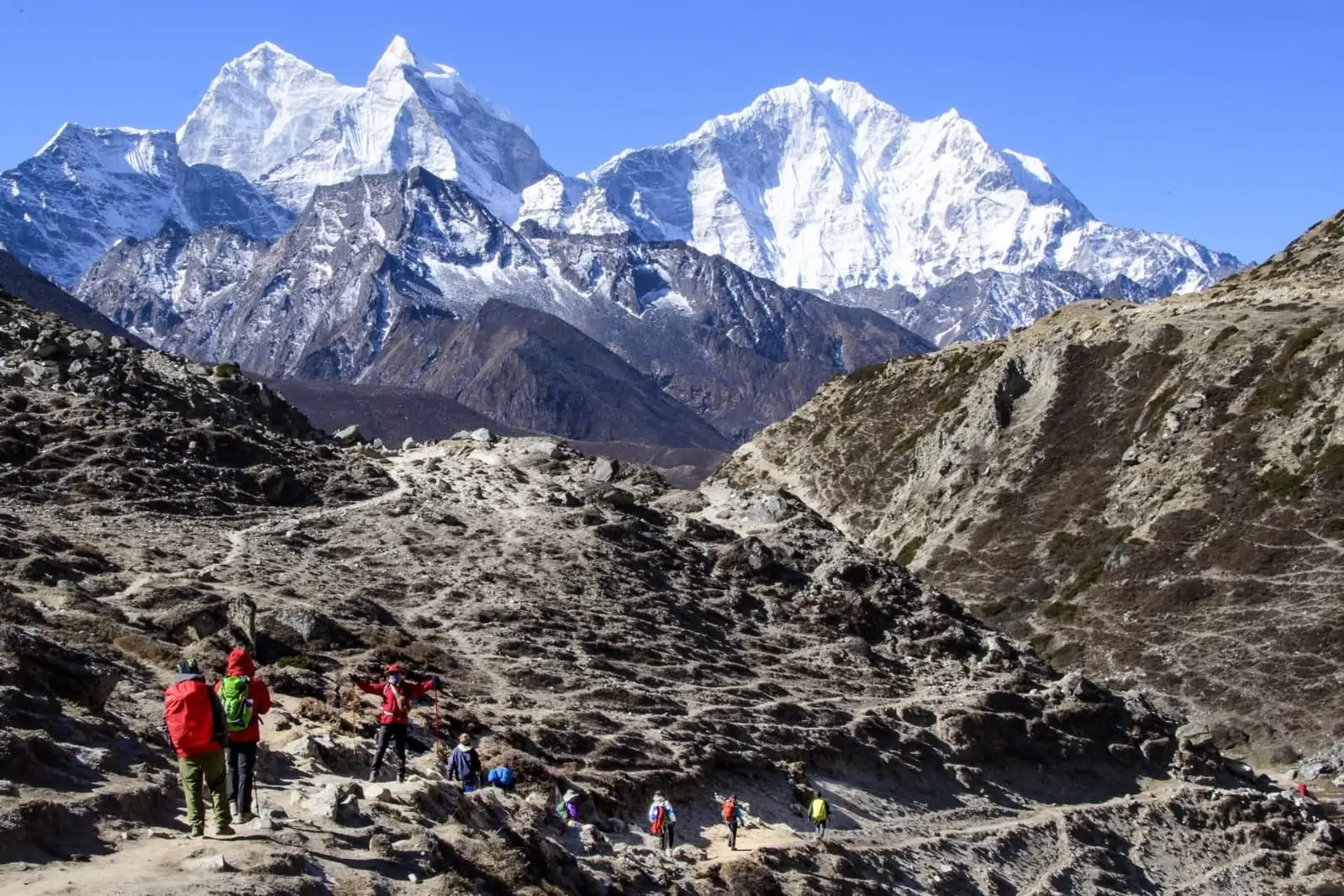
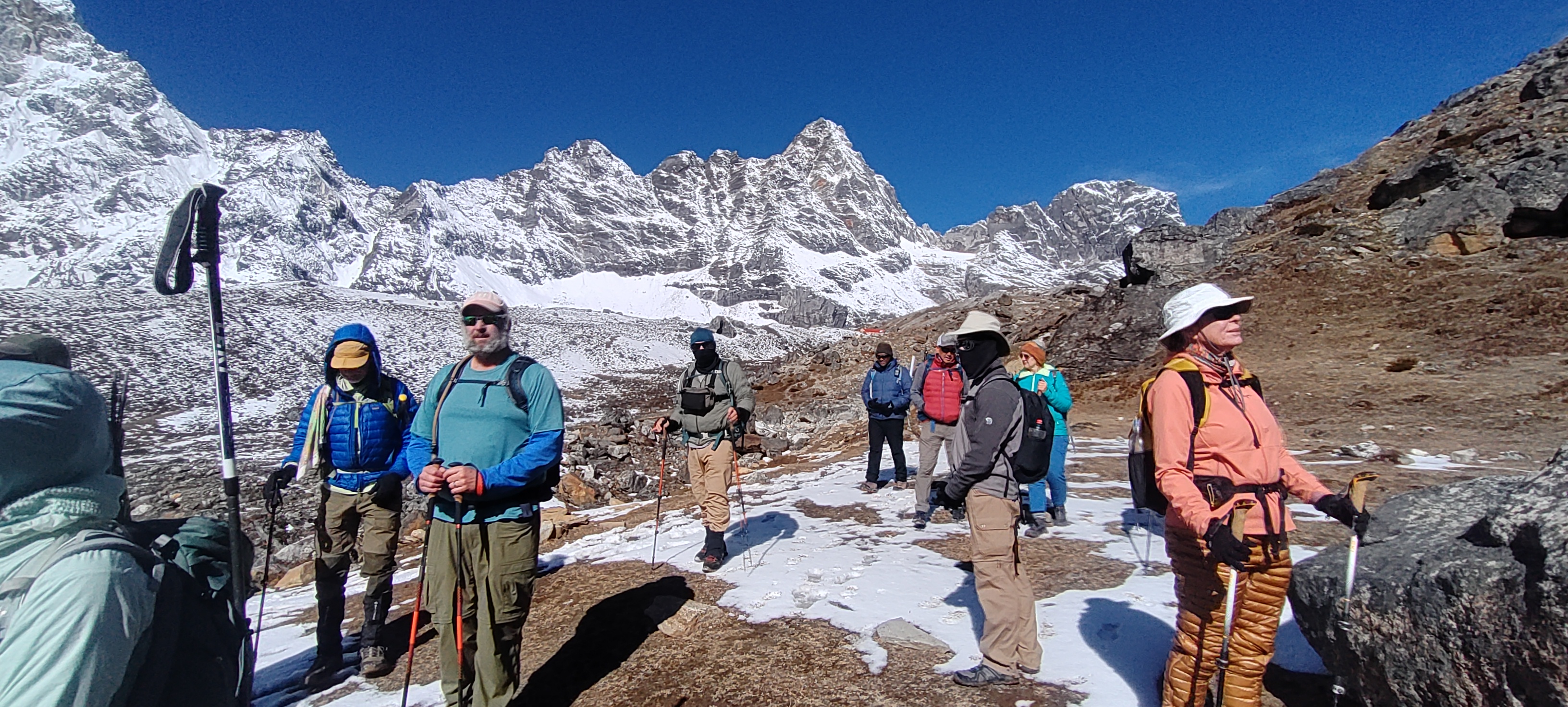
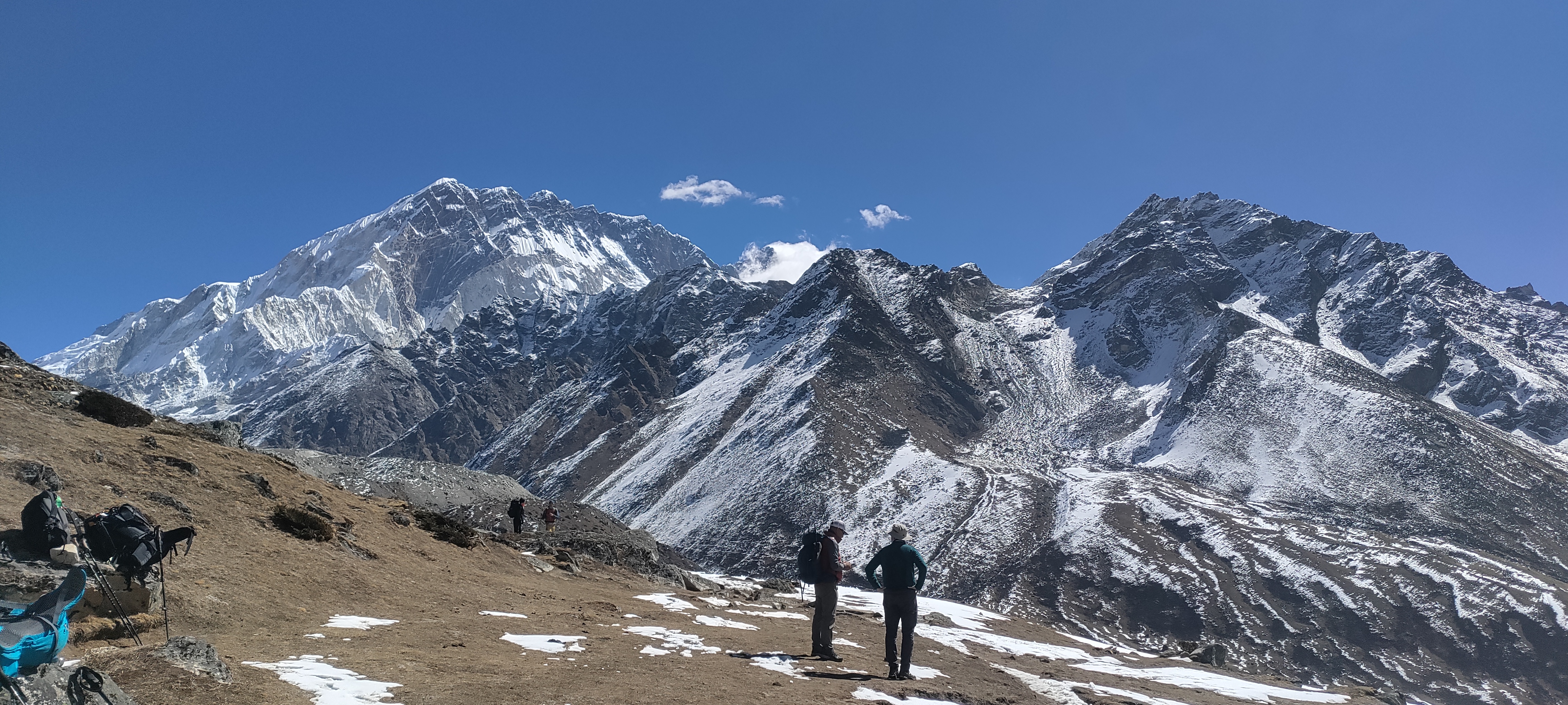

This particular day starts very early. We leave Gorak Shep before sunrise for Kala Patthar. This is often the coldest start of the trek. Gloves, a warm hat, and a proper down jacket matter here because you are climbing in the dark at more than 5,000 meters.
Kala Patthar reaches 5,545 m, the highest point of this itinerary. Everest Base Camp puts you at the foot of the mountain, but Kala Patthar gives the broader view. In clear weather, Everest, Nuptse, Pumori, and the surrounding peaks fill the skyline as the morning light reaches them.
After returning to Gorak Shep, we eat breakfast and begin the long descent of the trek.
From Gorak Shep, the trail heads towards Lobuche (4,910 m), passing through the Khumbu Glacier area. After about two hours of walking, Lobuche is a natural place to take a short break.
Once we drop below Lobuche and Thukla, breathing feels easier.
From Lobuche, the trail gradually descends through Oralo before reaching Thukla (4,600 m). The Himalayan landscape around Thukla and the famous memorials of the Everest region can be seen along the way.
After a short rest at Thukla, we continue towards Pheriche (4,371 m), reaching the village after about 1 to 1.5 hours.
Pheriche is a good place to stop for lunch before continuing towards Pangboche through the Imja Khola Valley. Along the way, the trail passes Sherpa settlements and offers beautiful views of Ama Dablam and the surrounding Himalayan landscape.
The walk from Pheriche to Pangboche takes around 2 to 2.5 hours.
By the time we reach Pangboche at around 3,985 m, the thicker air can make a surprisingly big difference.
Pangboche is one of the oldest and best-known Sherpa villages in the Everest region. After arriving, we check in at the lodge and have time to relax.
In the evening, a short walk through the village offers a chance to experience local Sherpa culture and the Himalayan way of life.
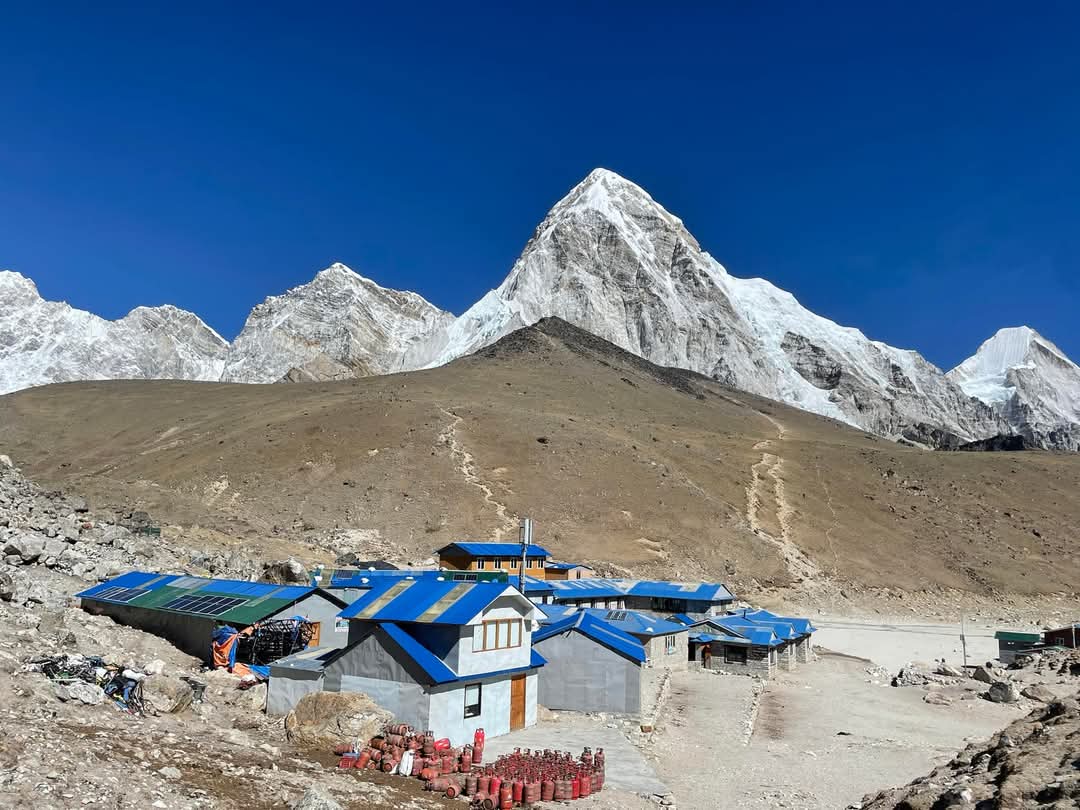
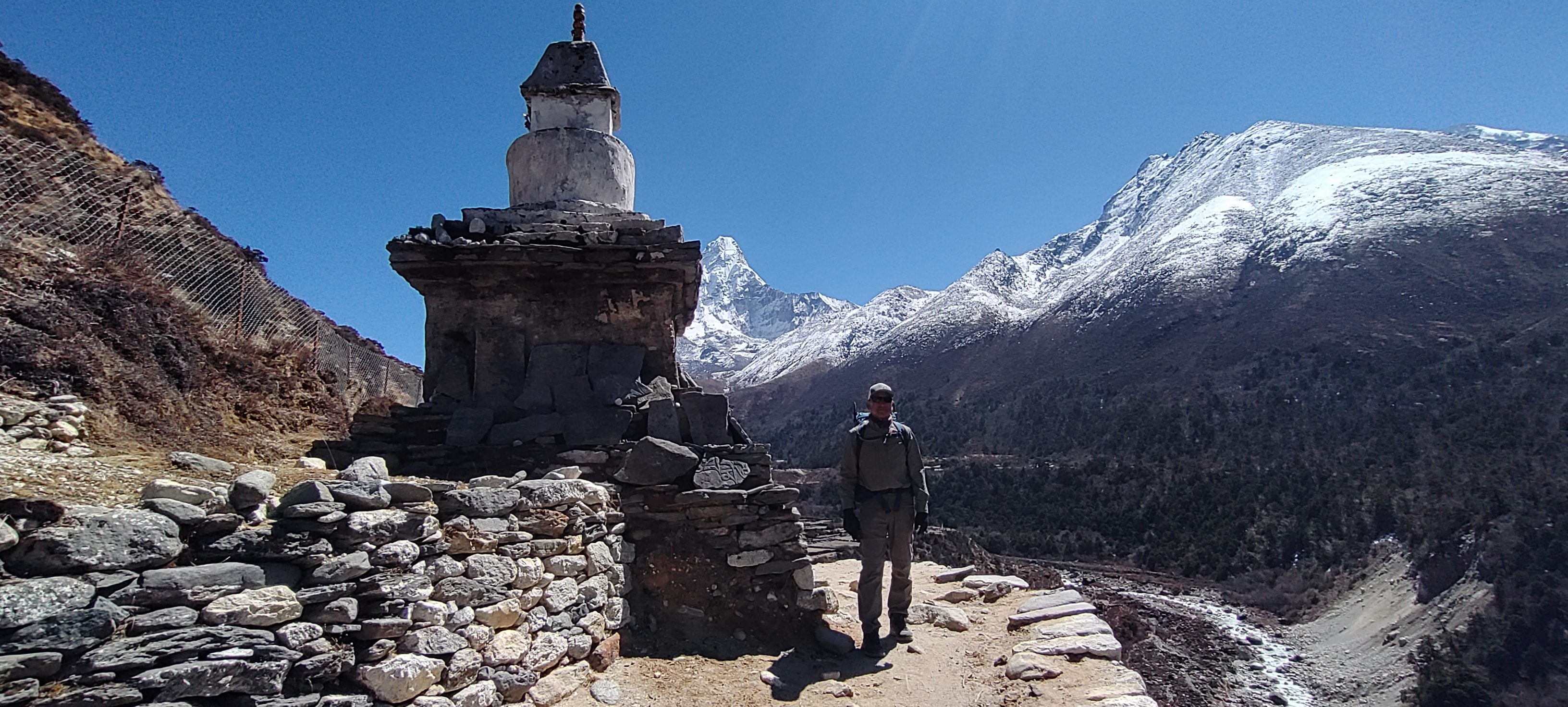
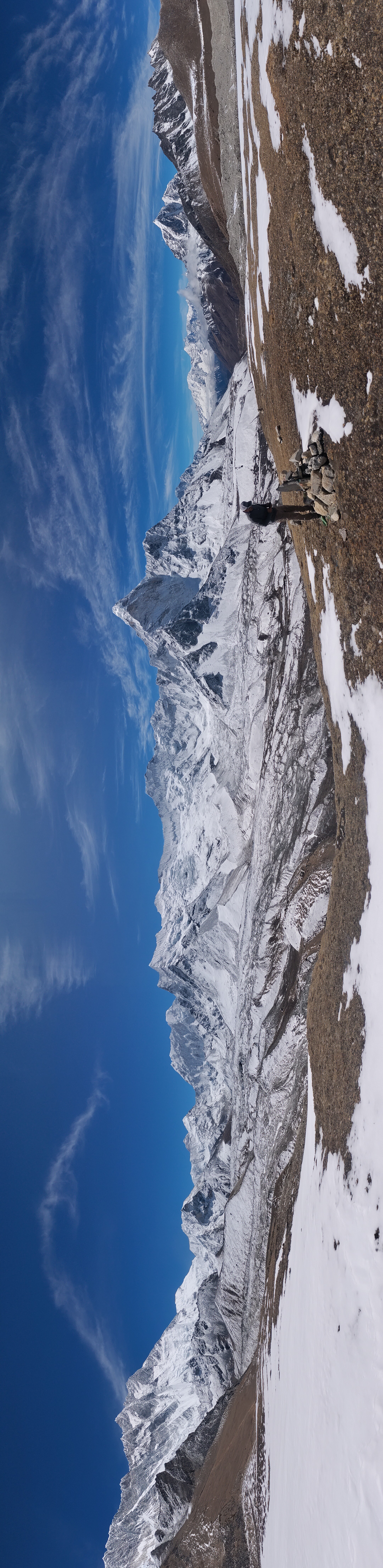
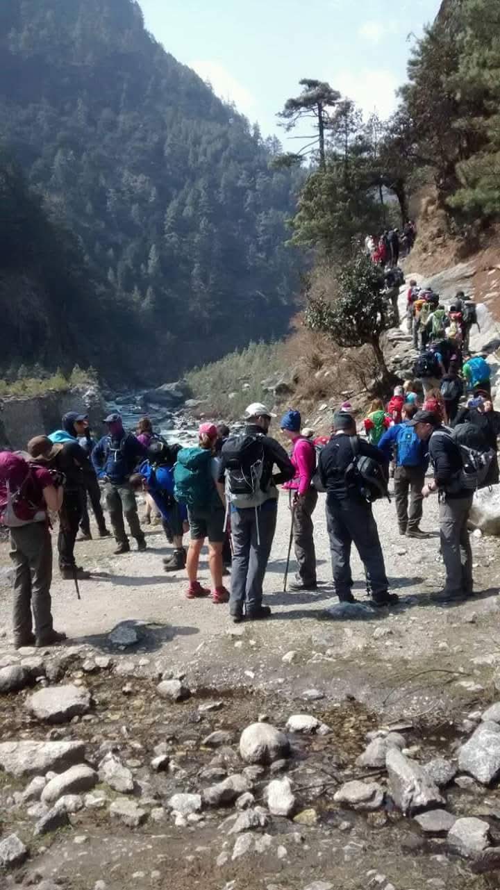
We continue descending toward Tengboche and then through the rhododendron and pine forest toward Phunki Tenga. After crossing the Dudh Koshi, there is still some climbing to do toward Sanasa and Kyangjuma. Even on descent days, there still will be plenty of short climbs waiting for you.
As we pass through Tengboche, there is another opportunity to see the monastery and the surrounding mountain views before continuing downhill.
Back in Namche, the bakeries, cafés, shops, and hot showers feel far more luxurious than they did on the way up. Here you have plenty of time for a breather, live in the moment near the mountains, roam around the Namche village and get some souvenirs to take back home.
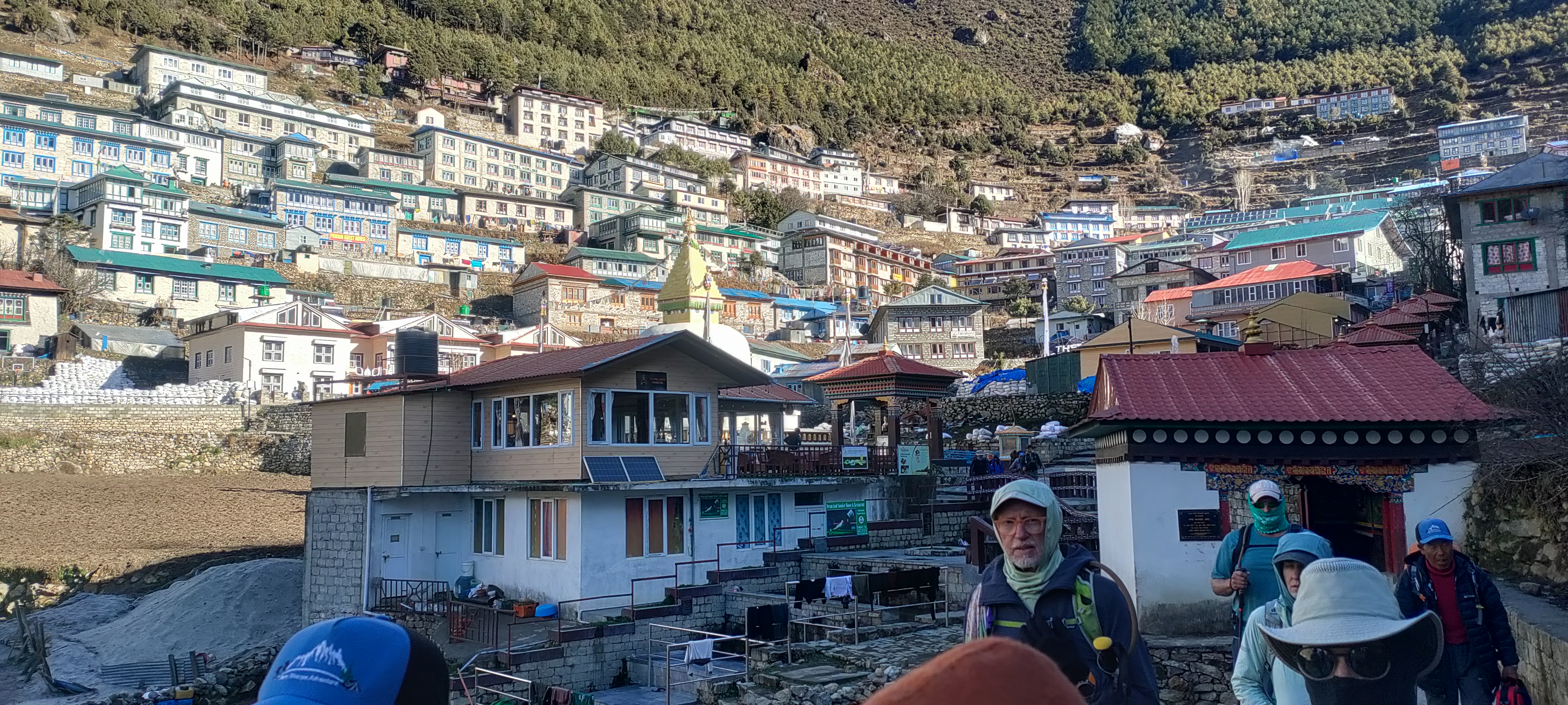
This is the final walking day. The day is mostly lower-altitude walking, but do not assume it is effortless. After nearly two weeks on the trail, legs are tired, and the final approach to Lukla includes some uphill sections.
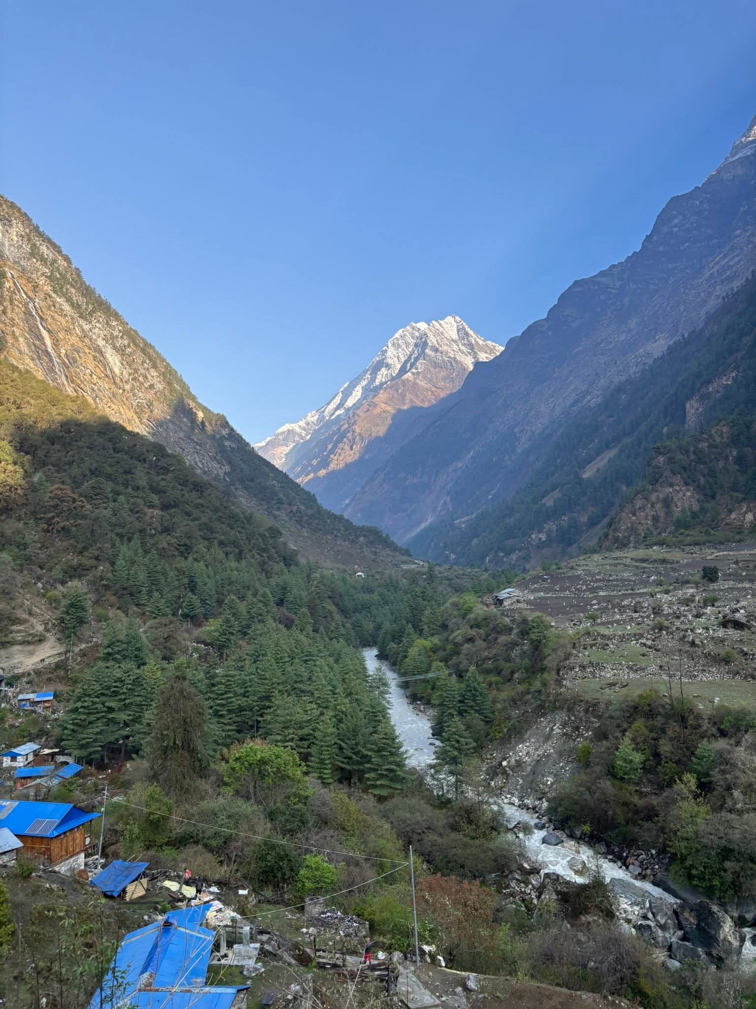
The trail follows the Dudh Koshi valley back through the lower settlements and suspension bridges, with a possible stop in Phakding for a short rest or meal.
Once we reach Lukla, the trekking part of the journey is complete.
Lukla is also a good place to enjoy a hot shower, a comfortable meal, and some time to relax after the long days on the trail.
This is usually a relaxed evening with the guide and porter team. After spending so many days together, the final night on the trail feels less like another hotel stop and more like the end of a shared trip.
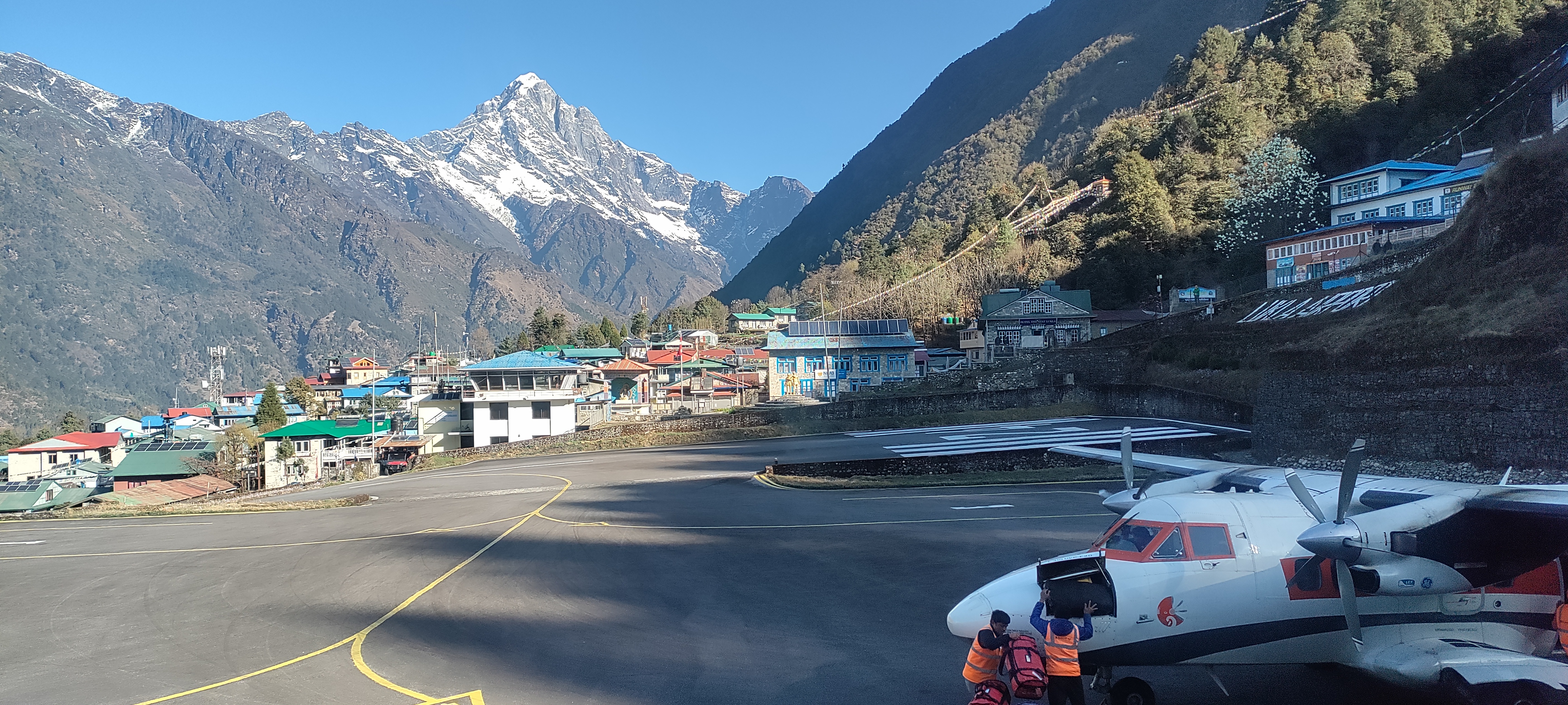
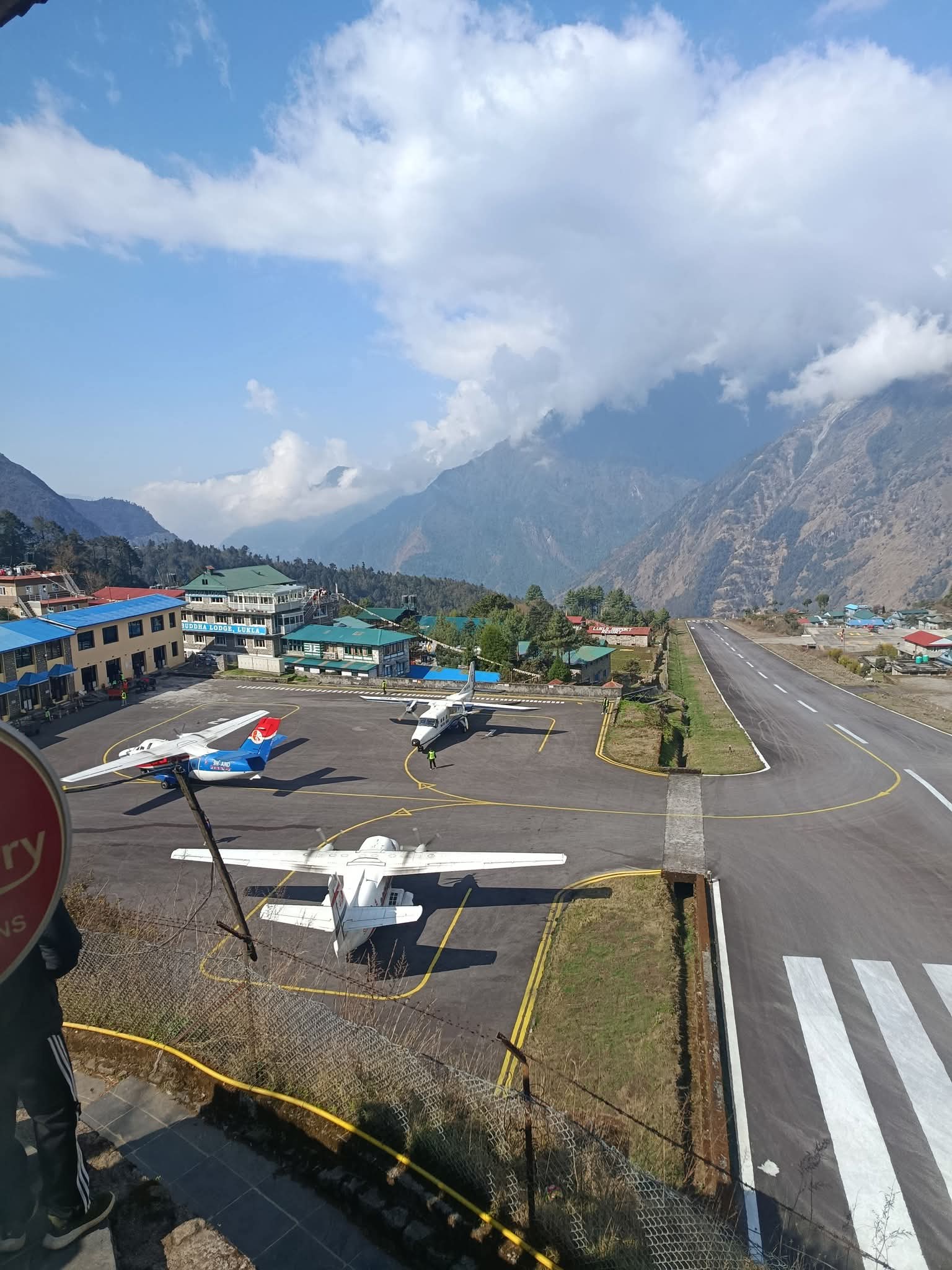
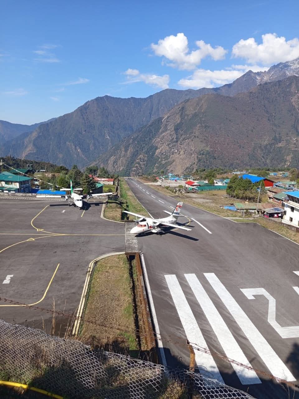
We aim for a morning flight to Kathmandu from Lukla, but at this point it's always the mountain’s last call. Delayed flights of hours, or sometimes longer, are acceptable because of the weather in the Himalayas.
Depending on the season, you may fly directly to Kathmandu or land at Manthali in Ramechhap and continue to Kathmandu by road. Because weather-related delays are not unusual, we recommend keeping one or two buffer days before an important international flight.
Once we land back in Kathmandu, we transfer you to your hotel.
The flight also gives you a final chance to look back at the Himalayan landscape and the snow-covered peaks you have spent the past two weeks walking beneath.
After settling into your hotel, you can spend the rest of the day resting or exploring Kathmandu and enjoying some final shopping for friends and family.
With conclusive farewells, you will be going to your home. Our agents will drop you off at a universal air terminal. You will take numerous brilliant courageous minutes with yourself. If you genuinely making the most of your outing, share your Everest Base Camp trek involvement with your friends and family
Everest Basecamp Trek - Route Map
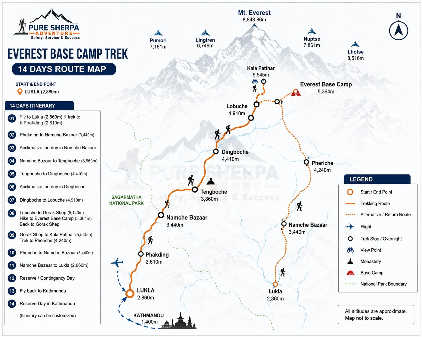
The 14- day Everest Basecamp Trek route starting from lukla to Everest Basecamp and back , Passing through Namche Bazaar,Tengboche ,Dingboche,Lobuche, and Gorak Shep
Everest Basecamp Trek -Altitude Graph
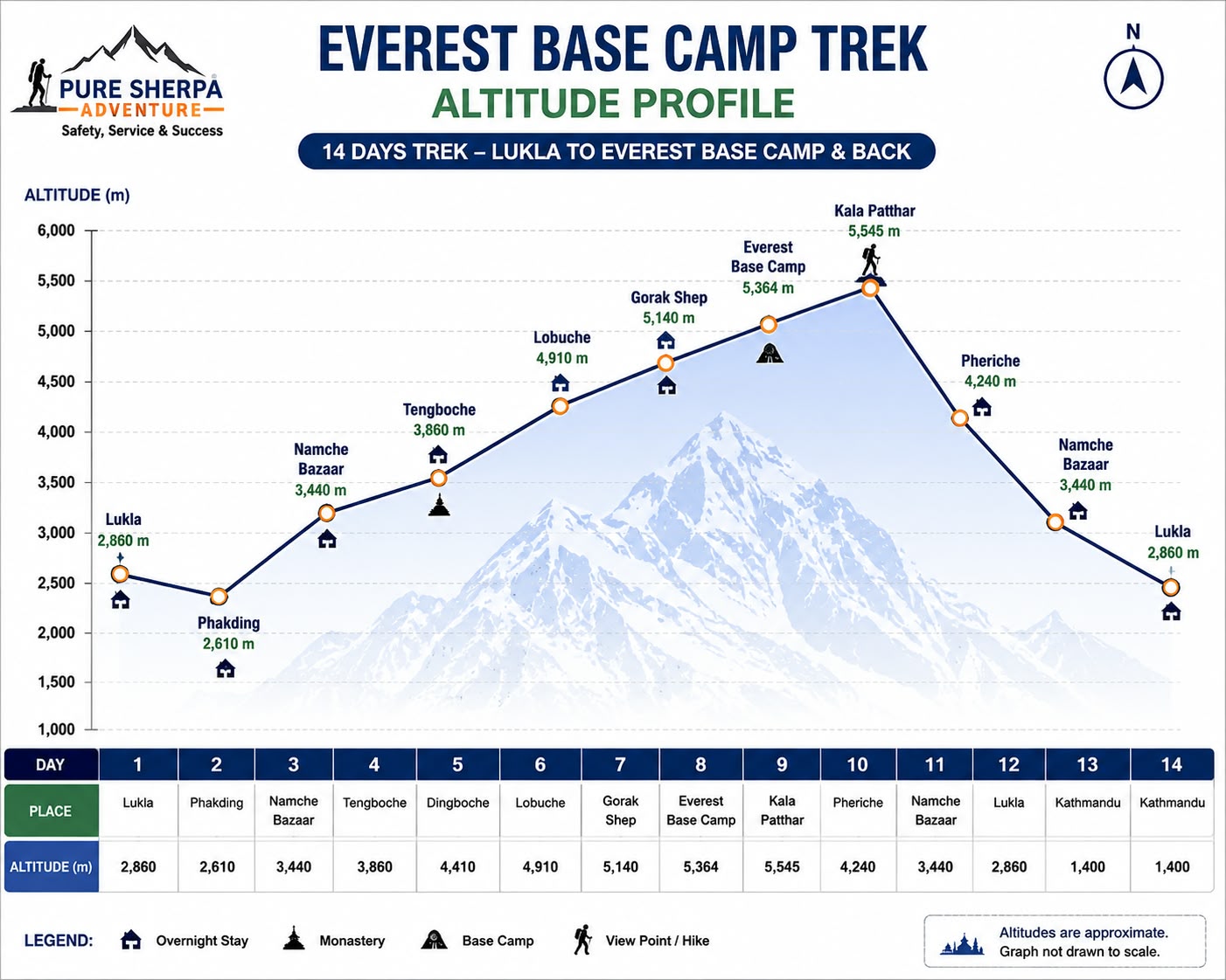
Altitude Graph of the 14-day Everest Base Camp Trek, showing the gradual ascent from Lukla to Everest Base Camp and Kala Patthar, followed by the descent back to Lukla.
Moments from the trail
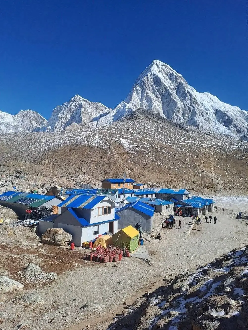
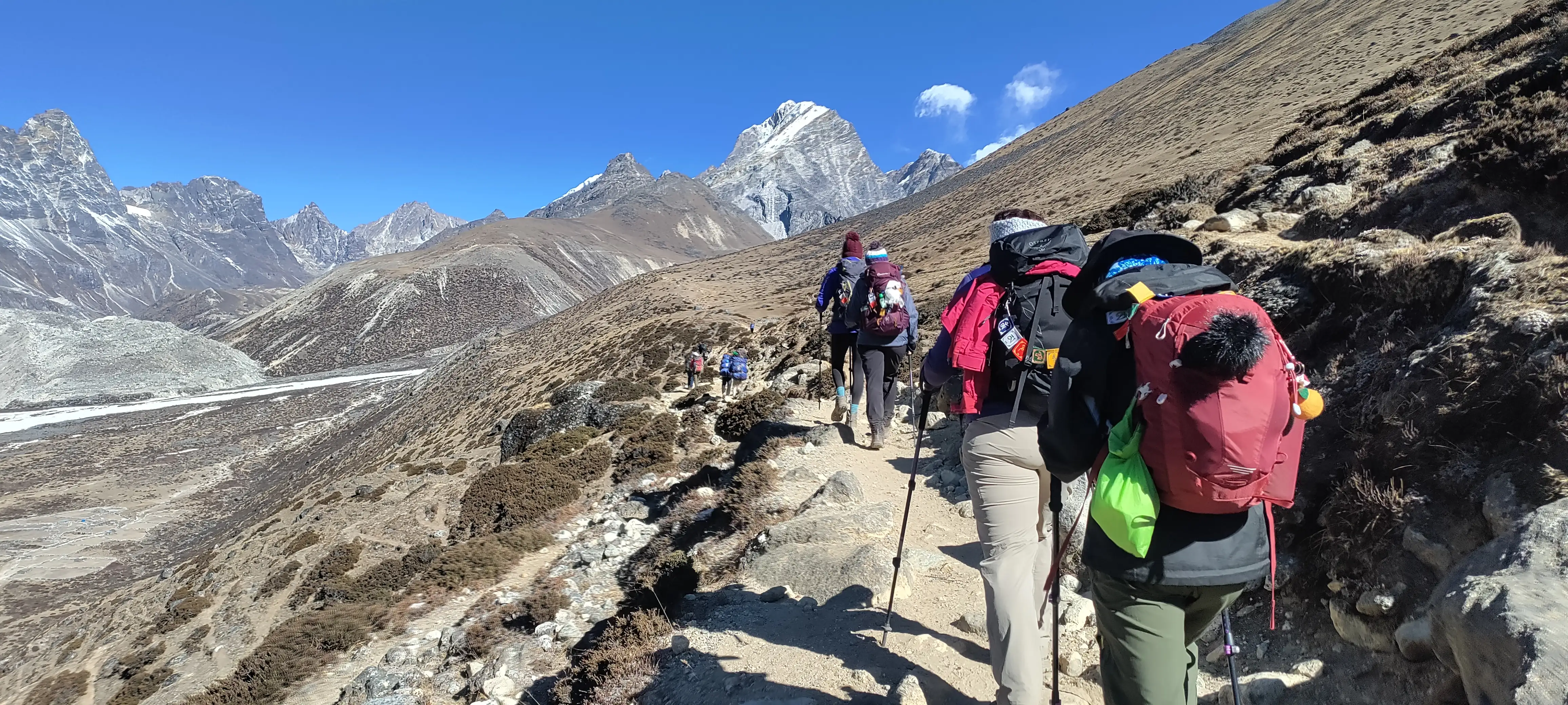
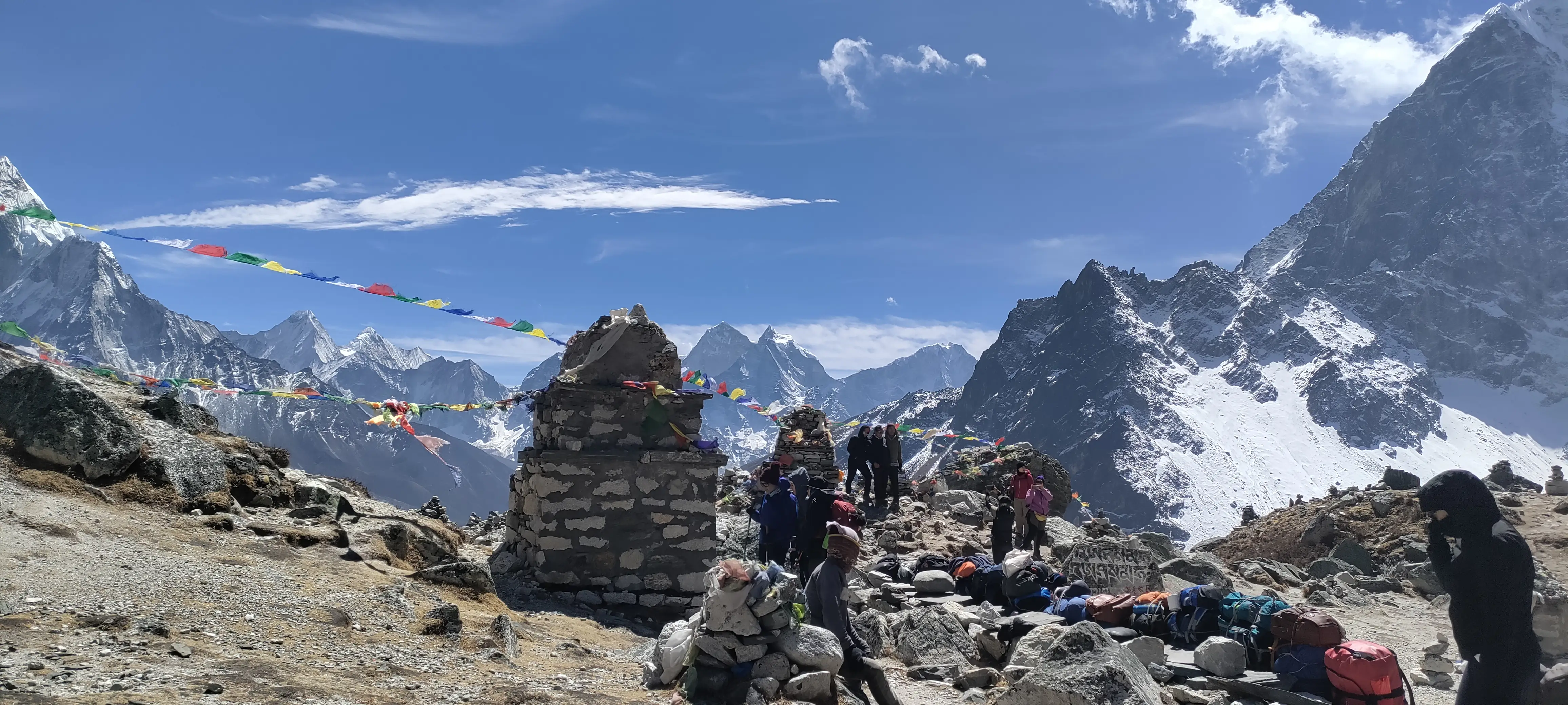
Accommodation & Facilities on the Trek
After we begin the journey, most of the stay will be in teahouses throughout the trekking section. These are locally run mountain lodges and form the main accommodation network along the Everest trail.
Here in the mountains, a typical room has twin beds, blankets, a small table, and basic space for your equipment. Bedrooms generally do not have heating or insulation comparable to a city hotel. So, most evening warmth comes from the communal dining room, where a stove is often used.
Lukla, Phakding, and Namche Bazaar are some teahouses that offer rooms with attached western-style bathrooms. Past Tengboche, shared toilets are common, and some may be squat-style. So we recommend preparing the necessary toiletries for the trek.
Hot showers are usually available for an additional charge in lower villages. Higher on the route, especially above Dingboche, the availability of hot showers becomes less. Some lodges provide a bucket of hot water instead.
Some teahouses also offer laundry for an additional charge, usually around USD 1–3 per clothing item. However, we recommend carrying enough clothing rather than relying on same-day drying at higher elevations.
Permits Required for the Trek
The package currently includes the permits and trekking documentation listed for this route, and we handle the paperwork as part of the trek arrangements.
These include:
Sagarmatha National Park entry permit
Pasang Lhamu Rural Municipality entry fee
TIMS documentation as listed in the package
Applicable government and local taxes
You will need to provide the required passport information and photographs for processing. Please also provide a passport-sized photo and a copy of your passport for the necessary documentation.
Permit requirements can change, but if that happens, we will let you know before the trek about the arrangements so that there won't be any documentation issues during your travels.
Your permits may be checked at different points along the trail, so please keep the relevant documentation accessible during the trek.
Food & Drink on the Trek
Most of the teahouses and lodges serve a similar selection of practical mountain meals. Dal bhat tarkari, consisting of rice, lentils, vegetables, and curry, is one of the most common meals. Other choices normally include noodles, momos, fried rice, potatoes, soup, pasta, porridge, eggs, butter tea, and Tibetan bread.
As you move higher, we generally recommend choosing vegetarian meals where possible, particularly above Namche Bazaar, as meat may have been carried for several days without refrigeration.
Tap and natural spring water should be treated before drinking. Water purification is provided for the group so you do not have to depend entirely on disposable bottled water.
Each meal generally includes one hot drink such as tea, coffee, hot chocolate, or hot lemon. Additional drinks and soft drinks are available at an extra cost.
Boiled drinking water is also available as a backup, usually costing around USD 2–5 per litre, with prices generally increasing at higher elevations.
Staying Connected (Wi-Fi & Charging)
Many teahouses from Lukla toward Dingboche use the Everest Link network. Access generally costs extra, with the existing package estimating roughly USD 5–10 depending on the connection package and location. Reliability drops as you move higher.
Some teahouses also provide their own Wi-Fi hotspots, although these can be less reliable.
Nepal Telecom and Ncell mobile coverage works reasonably well around some of the lower settlements, including parts of the trail around Namche Bazaar. Nepal Telecom generally provides more reliable coverage than Ncell along the route. Coverage becomes increasingly unreliable beyond Tengboche and should not be depended on above Dingboche.
Charging is available in many teahouses for approximately USD 1–5 per device, generally becoming more expensive at higher elevations. Some lodges rely on solar or generator power, so electricity may be rationed, and charging larger devices can cost more.
Carrying a power bank is strongly recommended. Cold temperatures can drain batteries quickly, and charging may not always be available when you need it.
Weather & Best Time to Trek
Mountain weather changes quickly, and temperature varies considerably with both altitude and time of day. Even when afternoons are sunny, temperatures can fall rapidly after sunset.
Spring: March to May
Spring is one of the main trekking seasons. Lower sections of the route can see daytime temperatures around 15–20°C, while nights above 4,000 m can fall to around -10°C to -15°C.
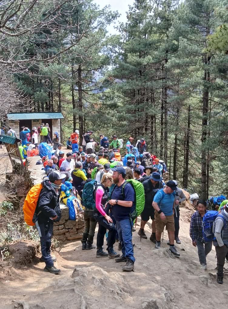
The lower valleys are also greener during spring, with rhododendrons adding color to the landscape. The trail can be busy during this season.
Autumn: September to November
Autumn is the other main trekking season and generally offers stable weather and good visibility. Lower elevations may see daytime temperatures around 15–18°C. Nights above 4,000 m can fall to approximately -10°C to -15°C.
Clear skies and mountain visibility are often particularly good during this season, although the trail can be busy.
Winter: December to February
Winter is colder and generally quieter. Daytime temperatures can fall to around 5–10°C, while nights above 4,000 m may reach -15°C to -20°C or lower.
Some services may be limited during winter, and heating options can be more restricted at higher elevations.
Monsoon: June to August
We would not recommend monsoon as the first choice for a first-time Everest Base Camp trekker. Lower elevations are warmer and more humid, but frequent rain and cloud can reduce visibility substantially. Mountain flights may also be affected by poor weather.
The Khumbu region lies partly in a rain-shadow area, so conditions can be somewhat drier than in other parts of Nepal, but mountain views are still less predictable during this period.
Health & Safety — Altitude Sickness
Fitness does not make anyone immune to altitude sickness. We have seen physically strong trekkers struggle while less athletic trekkers acclimatize well. The important factor is how an individual's body responds to reduced oxygen. Altitude becomes a serious consideration once the route moves above 3,000 m.
The itinerary therefore includes two dedicated acclimatization days: one in Namche Bazaar and another in Dingboche. Both follow the climb high, sleep low principle. You walk to a higher elevation during the day before returning to a lower sleeping altitude.
Our guides use a pulse oximeter to check oxygen saturation and pulse once trekkers move above 3,000 m. We also watch for symptoms such as persistent headache, nausea, unusual fatigue, loss of appetite, confusion, or difficulty walking normally.
If altitude-related symptoms develop, the priority is to stop gaining altitude, slow the pace, and descend when necessary rather than continuing upward.
Portable oxygen may also be available at higher guesthouses such as Lobuche and Gorak Shep for an additional cost. Pre-booked oxygen arrangements may be available where required.
All trekkers are required to carry travel insurance that covers high-altitude emergency evacuation.
Preparing for the Trek (Training)
The Everest Base Camp Trek does not require technical mountaineering skills. You just need to be capable of walking roughly five to eight hours on repeated days while gaining altitude. If possible, begin focused training around eight weeks before departure.
Three cardiovascular sessions each week using activities such as walking, jogging, cycling, or stair climbing can help build endurance. Add a longer hike each week and gradually work toward five or six hours of walking on hilly ground while carrying a daypack.
Include some training with a loaded daypack, particularly during longer hikes. Stair climbing or incline walking while carrying a light backpack can also help prepare your legs for the sustained uphill sections.
Previous trekking experience helps, but it is not essential. Pacing and acclimatization matter more than trying to walk quickly. Our advice from the beginning is simple: walk slowly, stay hydrated, eat properly, and do not try to match someone else's pace.
Flying into Lukla
Depending on the trekking season and flight arrangements, flights may depart directly from Kathmandu or operate through Manthali Airport in Ramechhap. Manthali requires an overland transfer before the short flight to Lukla.
During the main trekking seasons of March, April, May, September, October, and November, flights commonly operate from Manthali/Ramechhap. The drive from Kathmandu to Manthali takes approximately five to six hours, followed by a flight of around 20 minutes to Lukla.
During the off-season, flights may operate directly from Kathmandu, with the flight taking approximately 35 minutes.
The most important thing to understand about Lukla flights is that they are weather-dependent. Low cloud, wind, and poor visibility can delay flights for several hours and occasionally longer. The same issue can affect your flight out of Lukla after the trek.
This is not something a trekking company can control. We prefer to explain the possibility before the trek rather than let it become an unexpected problem at the end. For that reason, we recommend keeping one or two buffer days between the planned return from Lukla and an important international flight.
If flights are significantly disrupted, an alternative overland journey by jeep may take approximately one and a half days, depending on road and weather conditions.
For the standard luggage arrangement, the allowance is 15 kg in total: 10 kg in the main duffel bag and 5 kg in the daypack. Excess baggage may cost approximately USD 2–5 per kg, although additional allowance may not always be available.
What's included
What's not included
Booking, Payment & Cancellation
Booking with us is direct, there's no third-party platform in between. Message us on WhatsApp or email with your preferred dates and group size, and we'll confirm availability and answer any questions within a few hours. Once you're ready, a 20% deposit secures your spot, and your permits, guide, and accommodation are arranged around your chosen dates. The remaining balance is paid on arrival in Kathmandu, in cash or by card.
We know many trekkers are used to booking through large platforms with fixed calendars. We work differently on purpose. Every trek is planned around your dates, not the other way around, and you're speaking directly with the people running the trip, not a call center.
If your plans change, cancellations made more than 20 days before departure receive a partial refund, and we'll always work with you on rescheduling wherever possible. Full details of our refund policy are available on our Cancellation & Refund Policy page.
Frequently asked questions
General & Trek Overview
Best Time & Weather
Fitness & Training
Altitude Sickness & Health
Permits
Accommodation
Food & Drink
Connectivity
Flights & Lukla
Costs & Tipping
Booking With Pure Sherpa Adventure
Guides, Permits & Safety
Recommended Treks
Gokyo Lake and RI Trek (12 days)
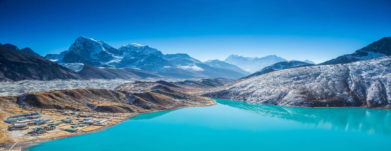
Gokyo Valley Trek 13 Days